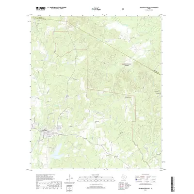
2019 Map of San Augustine East
USGS Topo · Published 2019About this map
San Augustine serves as a prominent focal point in this East Texas landscape, where the town's grid meets the wandering paths of Carrizo Cr and Caney Cr. The area is defined by a dense network of cemeteries and small rural nodes like White Rock and Calgary, suggesting a deeply rooted community history tied to the land. Much of the eastern portion is occupied by the Sabine National Forest, where the terrain rises toward Height Hill and is drained by numerous branches including Mickey Br and Palo Gaucho Bayou. This survey illustrates the proximity of family-named landmarks and local institutions, such as Liberty Hill Church, to the protected forest boundaries. The geography is heavily influenced by its water systems, from the local City Lake to the complex drainage of Ayish Bayou and Patroon Bayou near the northern boundary with Shelby Co.
Find a feature on this map
87 named features on this map. Tap any name to fly to it.
Don’t see what you’re looking for? This feature index may not catch every label — zoom into the map to look around manually.
Map Details
Editions of this 2019 San Augustine East Map
This is the sole edition of this map. No revisions or reprints were ever made.
Other maps of this area

1944 · Patroon
USGS Topo · 1:62,500

1953 · Alexandria
USGS Topo · 1:250,000

1953 · Palestine
USGS Topo · 1:250,000

1955 · Alexandria
USGS Topo · 1:250,000

1956 · Patroon
USGS Topo · 1:62,500

1957 · Palestine
USGS Topo · 1:250,000

1958 · Hemphill
USGS Topo · 1:62,500

1958 · San Augustine
USGS Topo · 1:62,500

1958 · Bronson
USGS Topo · 1:62,500

1984 · Norwood
USGS Topo · 1:24,000