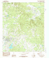
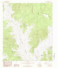
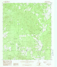
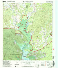
1984 Map of San Augustine East
USGS Topo · Published 1985This historical map portrays the area of San Augustine East in 1984, primarily covering San Augustine as well as portions of Shelby County. Featuring a scale of 1:24000, this map provides a highly detailed snapshot of the terrain, roads, buildings, counties, and historical landmarks in the San Augustine East region at the time. Published in 1985, it is the sole known edition of this map.
Find a feature on this map
31 named features on this map. Tap any name to fly to it.
Don’t see what you’re looking for? This feature index may not catch every label — zoom into the map to look around manually.
Map Details
Editions of this 1984 San Augustine East Map
This is the sole edition of this map. No revisions or reprints were ever made.
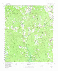
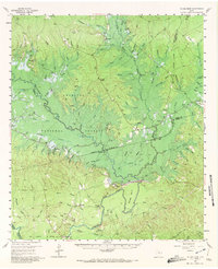
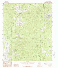
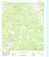
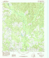
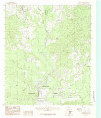
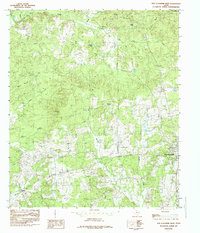
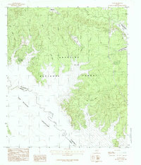
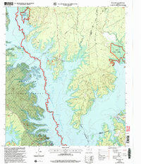
Historical Maps of Black Ankle Through Time
18 maps found
1958 Bronson
San Augustine County, TX
1958 Mc Gee Bend
San Augustine County, TX
1984 Bronson
San Augustine County, TX
1984 Buck Bay
San Augustine County, TX
1984 Chinquapin
San Augustine County, TX
1984 Chireno North
San Augustine County, TX
1984 Chireno South
San Augustine County, TX

1984 Harvey Creek
San Augustine County, TX
1984 Norwood
San Augustine County, TX
1984 San Augustine East
San Augustine County, TX
1984 San Augustine West
San Augustine County, TX
1984 Veach
San Augustine County, TX
2003 Buck Bay
San Augustine County, TX
2003 Chireno South
San Augustine County, TX
2003 Harvey Creek
San Augustine County, TX
2003 Norwood
San Augustine County, TX
2003 San Augustine East
San Augustine County, TX

2003 Veach
San Augustine County, TX