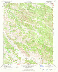
1968 Map of San Benito
USGS Topo · Published 1971About this map
The San Andreas Rift Zone dominates the southwestern corner of this 1968 landscape, tracing a distinct geological path alongside the San Benito River. This area of San Benito County is defined by a network of steep canyons and ridges, including Pine Ridge and the Call Mountains. Local ranching life is anchored by sites like Wilkinson Ranch and the small settlement of San Benito, where the Jefferson Sch served the rural community. Higher elevations are marked by the Lookout Tower on Chermise Ridge and the summit of Big Mountain. The map illustrates a remote, high-country terrain where travel is largely restricted to a complex system of Trail and Jeep Trail routes through features like Horsethief Canyon and Smoker Canyon.
Find a feature on this map
30 named features on this map. Tap any name to fly to it.
Don’t see what you’re looking for? This feature index may not catch every label — zoom into the map to look around manually.
Map Details
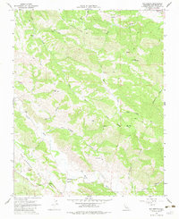
Editions of this 1968 San Benito Map
2 editions found
Other maps of this area

1913 · Panoche
USGS Topo · 1:125,000

1915 · Priest Valley
USGS Topo · 1:125,000

1919 · San Benito
USGS Topo · 1:62,500

1921 · Metz
USGS Topo · 1:62,500

1931 · San Benito
USGS Topo · 1:62,500

1940 · Metz
USGS Topo · 1:62,500

1940 · San Benito
USGS Topo · 1:62,500

1943 · Hernandez Valley
USGS Topo · 1:62,500

1944 · Hernandez Valley
USGS Topo · 1:62,500

1944 · Panoche Valley
USGS Topo · 1:62,500