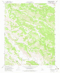
1968 Map of San Benito
USGS Topo · Published 1983About this map
The San Andreas Rift Zone dominates the southwestern corner of this survey, carving a distinct geological path through the California landscape. Near the banks of the San Benito River, the small settlement of San Benito is centered around the Jefferson Sch, serving as a focal point for the surrounding rural valley. The terrain transitions from the river flats into the significant elevations of the Call Mountains, where a Lookout Tower and a Radio Facility stand on high ridges.
Find a feature on this map
30 named features on this map. Tap any name to fly to it.
Don’t see what you’re looking for? This feature index may not catch every label — zoom into the map to look around manually.
Map Details
Editions of this 1968 San Benito Map
2 editions found
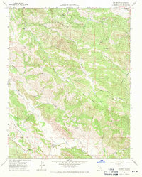
Other maps of this area

1913 · Panoche
USGS Topo · 1:125,000

1915 · Priest Valley
USGS Topo · 1:125,000

1919 · San Benito
USGS Topo · 1:62,500

1921 · Metz
USGS Topo · 1:62,500

1931 · San Benito
USGS Topo · 1:62,500

1940 · Metz
USGS Topo · 1:62,500

1940 · San Benito
USGS Topo · 1:62,500

1943 · Hernandez Valley
USGS Topo · 1:62,500

1944 · Hernandez Valley
USGS Topo · 1:62,500

1944 · Panoche Valley
USGS Topo · 1:62,500