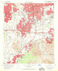
1967 Map of San Bernardino South
USGS Topo · Published 1969About this map
San Bernardino and Colton anchor this detailed survey of the Inland Empire’s developing industrial and institutional landscape in the late 1960s. The map captures a critical period of expansion where established citrus-era landmarks, like the National Orange Show Grounds, sit alongside major mid-century infrastructure. The influence of the Southern Pacific and Atchison Topeka and Santa Fe Railway is evident in the dense rail yards and junctions that shaped these communities.
Find a feature on this map
89 named features on this map. Tap any name to fly to it.
Don’t see what you’re looking for? This feature index may not catch every label — zoom into the map to look around manually.
Map Details
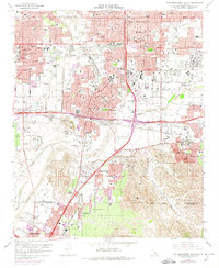
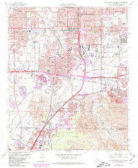
Editions of this 1967 San Bernardino South Map
3 editions found
Other maps of this area

1896 · San Bernardino
USGS Topo · 1:62,500

1898 · San Bernardino
USGS Topo · 1:62,500

1899 · Redlands
USGS Topo · 1:62,500

1901 · Southern California Sheet No. 1
USGS Topo · 1:250,000

1901 · San Bernardino
USGS Topo · 1:62,500

1901 · Redlands
USGS Topo · 1:62,500

1901 · Elsinore
USGS Topo · 1:125,000

1901 · Riverside
USGS Topo · 1:62,500

1904 · Southern California Sheet No. 1
USGS Topo · 1:250,000
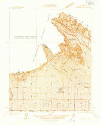
1936 · Devore
USGS Topo · 1:31,680