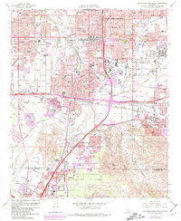
1967 Map of San Bernardino South
USGS Topo · Published 1981About this map
Santa Ana River hydrology and a dense network of major railroads define this landscape during a period of significant Southern California expansion. The map details the convergence of the Atchison Topeka and Santa Fe, Southern Pacific, and Union Pacific lines as they navigate the valley floor between Slover Mtn and the Box Springs Mountains. Urban growth is visible through the purple-tinted revisions, showing the outward reach of San Bernardino and Riverside into former agricultural lands.
Find a feature on this map
73 named features on this map. Tap any name to fly to it.
Don’t see what you’re looking for? This feature index may not catch every label — zoom into the map to look around manually.
Map Details
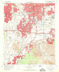
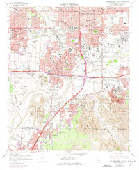
Editions of this 1967 San Bernardino South Map
3 editions found
Other maps of this area

1896 · San Bernardino
USGS Topo · 1:62,500

1898 · San Bernardino
USGS Topo · 1:62,500

1899 · Redlands
USGS Topo · 1:62,500

1901 · Southern California Sheet No. 1
USGS Topo · 1:250,000

1901 · San Bernardino
USGS Topo · 1:62,500

1901 · Redlands
USGS Topo · 1:62,500

1901 · Elsinore
USGS Topo · 1:125,000

1901 · Riverside
USGS Topo · 1:62,500

1904 · Southern California Sheet No. 1
USGS Topo · 1:250,000

1936 · Devore
USGS Topo · 1:31,680