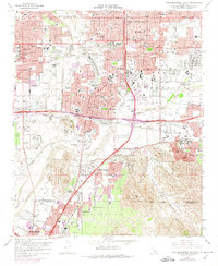
1967 Map of San Bernardino South
USGS Topo · Published 1974About this map
San Bernardino and Riverside anchor this mid-century portrait of the Inland Empire, showcasing a landscape rapidly transforming from citrus groves into a major transportation and military hub. The northern half is dominated by the grid of San Bernardino, featuring landmarks like San Bernardino Valley College and the Pioneer Memorial Cem. To the east, Norton Air Force Base stands as a massive installation bordering the Santa Ana River.
Find a feature on this map
70 named features on this map. Tap any name to fly to it.
Don’t see what you’re looking for? This feature index may not catch every label — zoom into the map to look around manually.
Map Details
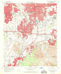
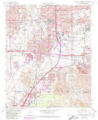
Editions of this 1967 San Bernardino South Map
3 editions found
Other maps of this area

1896 · San Bernardino
USGS Topo · 1:62,500

1898 · San Bernardino
USGS Topo · 1:62,500

1899 · Redlands
USGS Topo · 1:62,500

1901 · Southern California Sheet No. 1
USGS Topo · 1:250,000

1901 · San Bernardino
USGS Topo · 1:62,500

1901 · Redlands
USGS Topo · 1:62,500

1901 · Elsinore
USGS Topo · 1:125,000

1901 · Riverside
USGS Topo · 1:62,500

1904 · Southern California Sheet No. 1
USGS Topo · 1:250,000

1936 · Devore
USGS Topo · 1:31,680