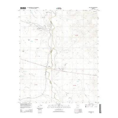
2014 Map of San Carlos
USGS Topo · Published 2014About this map
San Carlos and the neighboring settlement of Peridot anchor this landscape, where the San Carlos River flows southward across the boundary of Gila and Graham counties. The 2014 survey reveals a local infrastructure defined by a network of water management features, such as Tufa Stone Tank and Maltazan Tank, which support life in the arid terrain north of the Gila River. Significant geographic landmarks like the broad Peridot Mesa and Peridot Hill dominate the western portion of the quadrangle, while the San Carlos Airport provides a modern aeronautical hub near the confluence of Sevenmile Wash and the river valley. The map details a transition from the structured residential streets of San Carlos, including Mohave Ave and Apache Ave, to the expansive grazing and desert lands of Antelope Flats, all interconnected by regional arteries like Us-70 and Coolidge Dam Rd.
Find a feature on this map
50 named features on this map. Tap any name to fly to it.
Don’t see what you’re looking for? This feature index may not catch every label — zoom into the map to look around manually.
Map Details
Editions of this 2014 San Carlos Map
This is the sole edition of this map. No revisions or reprints were ever made.
Other maps of this area

1915 · Christmas
USGS Topo · 1:62,500

1917 · Christmas
USGS Topo · 1:62,500

1954 · Mesa
USGS Topo · 1:250,000

1957 · Mesa
USGS Topo · 1:250,000

1958 · Mesa
USGS Topo · 1:250,000

1960 · Mesa
USGS Topo · 1:250,000

1962 · San Carlos Reservoir
USGS Topo · 1:62,500

1964 · Mesa
USGS Topo · 1:250,000

1965 · Sontag Mesa
USGS Topo · 1:24,000

1965 · Bucket Mtn
USGS Topo · 1:24,000