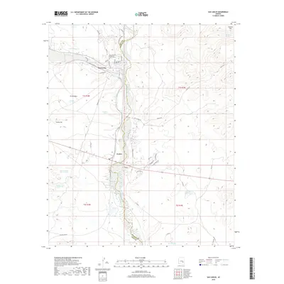
2018 Map of San Carlos
USGS Topo · Published 2018About this map
San Carlos and Peridot serve as the primary hubs in this high-desert landscape, situated where the San Carlos River flows southward between the Gila and Graham County line. The settlement pattern is defined by the valley floor, with education and community life centered around the Gila Community College San Carlos Campus. Beyond the developed areas, the terrain is marked by essential water management features such as Maltazan Tank and Sawmill Tank Number One, which supported local ranching or community needs in this arid environment.
Find a feature on this map
51 named features on this map. Tap any name to fly to it.
Don’t see what you’re looking for? This feature index may not catch every label — zoom into the map to look around manually.
Map Details
Editions of this 2018 San Carlos Map
This is the sole edition of this map. No revisions or reprints were ever made.
Other maps of this area

1915 · Christmas
USGS Topo · 1:62,500

1917 · Christmas
USGS Topo · 1:62,500

1954 · Mesa
USGS Topo · 1:250,000

1957 · Mesa
USGS Topo · 1:250,000

1958 · Mesa
USGS Topo · 1:250,000

1960 · Mesa
USGS Topo · 1:250,000

1962 · San Carlos Reservoir
USGS Topo · 1:62,500

1964 · Mesa
USGS Topo · 1:250,000

1965 · Sontag Mesa
USGS Topo · 1:24,000

1965 · Bucket Mtn
USGS Topo · 1:24,000