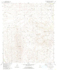
1981 Map of San Cayetano Mts.
USGS Topo · Published 1985About this map
The Luis Maria Baca Float No 3 boundary dominates this topographic survey of the Arizona borderlands, illustrating a landscape defined by historic Spanish land grants and mining interests. Centered on the San Cayetano Mountains, the map details a region of dramatic elevation changes, from the heights of San Cayetano Peak and Mt Shibell down into the winding reaches of Josephine Canyon and Fresno Canyon.
Find a feature on this map
24 named features on this map. Tap any name to fly to it.
Don’t see what you’re looking for? This feature index may not catch every label — zoom into the map to look around manually.
Map Details
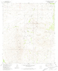
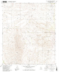
Editions of this 1981 San Cayetano Mts. Map
3 editions found
Other maps of this area

1904 · Patagonia
USGS Topo · 1:125,000

1905 · Patagonia
USGS Topo · 1:125,000

1905 · Nogales
USGS Topo · 1:125,000

1920 · Arivaca
USGS Topo · 1:125,000

1921 · Old Glory
USGS Topo · 1:125,000

1922 · Agus Caliente
USGS Topo · 1:62,500

1933 · Calabasas
USGS Topo · 1:62,500

1939 · Tubac
USGS Topo · 1:62,500

1942 · Ruby
USGS Topo · 1:62,500

1943 · Old Glory
USGS Topo · 1:125,000