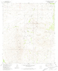
1981 Map of San Cayetano Mts.
USGS Topo · Published 1981About this map
The Luis Maria Baca Float No 3 land grant dominates this section of Southern Arizona, illustrating the complex history of Spanish and Mexican land claims in the region. The landscape is defined by the sharp rise of the San Cayetano Mountains, culminating at San Cayetano Peak. This 1981 record shows a sparsely populated terrain where water sources like Tejano Spring, Sheuy Well, and Chivas Tank are vital markers for navigation and livestock. Evidence of early industry and habitation appears in the eastern foothills near Salero Ranch, where a small Cem and scattered Ruins indicate a longer human presence. Mining history is preserved through the Tubutama Mine and the naming of Coal Mine Canyon, while modern infrastructure is represented by a Radio Facility atop the high ground north of Bond Canyon.
Find a feature on this map
32 named features on this map. Tap any name to fly to it.
Don’t see what you’re looking for? This feature index may not catch every label — zoom into the map to look around manually.
Map Details
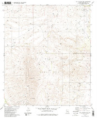
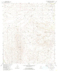
Editions of this 1981 San Cayetano Mts. Map
3 editions found
Other maps of this area

1904 · Patagonia
USGS Topo · 1:125,000

1905 · Patagonia
USGS Topo · 1:125,000

1905 · Nogales
USGS Topo · 1:125,000

1920 · Arivaca
USGS Topo · 1:125,000

1921 · Old Glory
USGS Topo · 1:125,000

1922 · Agus Caliente
USGS Topo · 1:62,500

1933 · Calabasas
USGS Topo · 1:62,500

1939 · Tubac
USGS Topo · 1:62,500

1942 · Ruby
USGS Topo · 1:62,500

1943 · Old Glory
USGS Topo · 1:125,000