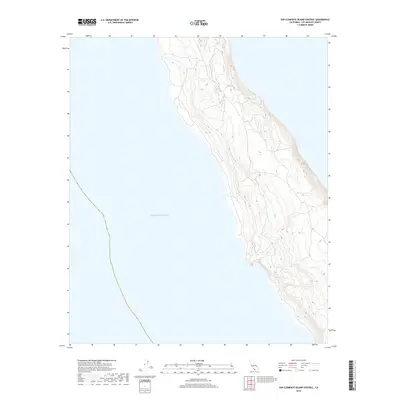
2018 Map of San Clemente Island Central
USGS Topo · Published 2018About this map
The central coastline of San Clemente Island is defined by steep, descending terrain that meets the expansive Pacific Ocean along the island's western edge. This 2018 survey depicts a landscape largely shaped by its natural topography, where intricate contour lines illustrate the dramatic elevation changes characteristic of this maritime environment. While modern in its production, the sheet provides a clear spatial reference for the island's geographic isolation and its position within the Channel Islands chain off the California coast. The lack of named inland settlements or infrastructure on this specific quadrangle emphasizes the undeveloped nature of this portion of Los Angeles County, focusing instead on the relationship between the elevated landmass and the surrounding sea.
Find a feature on this map
1 named feature on this map. Tap any name to fly to it.
Don’t see what you’re looking for? This feature index may not catch every label — zoom into the map to look around manually.
Map Details
Editions of this 2018 San Clemente Island Central Map
This is the sole edition of this map. No revisions or reprints were ever made.
Other maps of this area
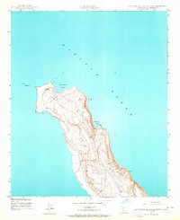
1943 · San Clemente Island North
USGS Topo · 1:24,000

1943 · San Clemente Island Central
USGS Topo · 1:24,000

1949 · Long Beach
USGS Topo · 1:250,000
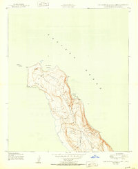
1950 · San Clemente Island North
USGS Topo · 1:24,000

1950 · San Clemente Island Central
USGS Topo · 1:24,000

1957 · Long Beach
USGS Topo · 1:250,000

1957 · San Clemente Island
USGS Topo · 1:250,000

1958 · Long Beach
USGS Topo · 1:250,000

1960 · Long Beach
USGS Topo · 1:250,000

1980 · San Clemente Island
USGS Topo · 1:100,000