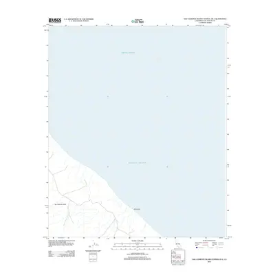
2012 Map of San Clemente Island Central OE E
USGS Topo · Published 2012About this map
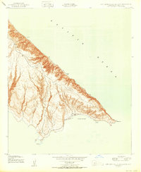
San Clemente Island meets the vast Pacific Ocean along a dramatic, southwestern coastal stretch in this 2012 survey. The map focuses on the steep, drainage-scarred bluffs of the island's central interior and its rugged shoreline. Only a few distinct landmarks are identified, most notably the offshore feature known as White Rock. The terrain is characterized by a dense network of intermittent stream channels and canyons that carve through the island's rising elevation, illustrating the natural erosive forces acting upon this isolated landmass. This document records the island's topography as it existed in the early 21st century, prior to further shifts in coastal management or natural environmental changes.
Find a feature on this map
3 named features on this map. Tap any name to fly to it.
Don’t see what you’re looking for? This feature index may not catch every label — zoom into the map to look around manually.
Map Details
Editions of this 2012 San Clemente Island Central OE E Map
This is the sole edition of this map. No revisions or reprints were ever made.
Other maps of this area
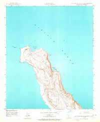
1943 · San Clemente Island North
USGS Topo · 1:24,000
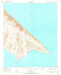
1943 · San Clemente Island South
USGS Topo · 1:24,000

1943 · San Clemente Island Central
USGS Topo · 1:24,000

1949 · Long Beach
USGS Topo · 1:250,000
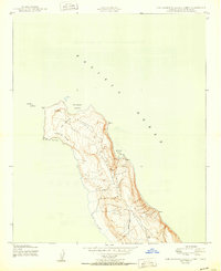
1950 · San Clemente Island North
USGS Topo · 1:24,000

1950 · San Clemente Island Central
USGS Topo · 1:24,000
1950 · San Clemente Island South
USGS Topo · 1:24,000

1957 · Long Beach
USGS Topo · 1:250,000

1957 · San Clemente Island
USGS Topo · 1:250,000

1958 · Long Beach
USGS Topo · 1:250,000