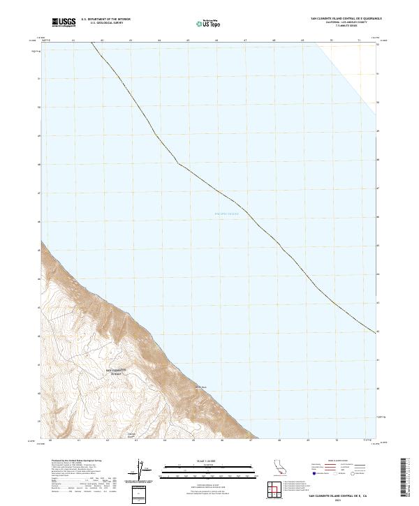
2021 Map of San Clemente Island Central OE E
USGS Topo · Published 2021About this map
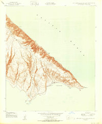
The coastal elevations of the Channel Islands meet the Pacific Ocean in this 2021 digital survey of California's offshore territory. The map focuses on a dramatic section of the steep marine escarpment, where land rises sharply from the sea to a series of interior ridges and plateaus. A prominent shoreline landmark, White Rock, anchors the coastal profile where the rugged maritime topography descends into the surf. The tightly packed contour lines along the western edge of the sheet illustrate the extreme verticality of this island landscape, highlighting the natural barriers that define the isolated character of these landforms. This modern geographic study provides a precise record of the current coastline and terrain before it gives way to the deep open water of the Pacific.
Find a feature on this map
3 named features on this map. Tap any name to fly to it.
Don’t see what you’re looking for? This feature index may not catch every label — zoom into the map to look around manually.
Map Details
Editions of this 2021 San Clemente Island Central OE E Map
This is the sole edition of this map. No revisions or reprints were ever made.
Other maps of this area
1943 · San Clemente Island North
USGS Topo · 1:24,000
1943 · San Clemente Island South
USGS Topo · 1:24,000

1943 · San Clemente Island Central
USGS Topo · 1:24,000

1949 · Long Beach
USGS Topo · 1:250,000
1950 · San Clemente Island North
USGS Topo · 1:24,000

1950 · San Clemente Island Central
USGS Topo · 1:24,000
1950 · San Clemente Island South
USGS Topo · 1:24,000

1957 · Long Beach
USGS Topo · 1:250,000

1957 · San Clemente Island
USGS Topo · 1:250,000

1958 · Long Beach
USGS Topo · 1:250,000