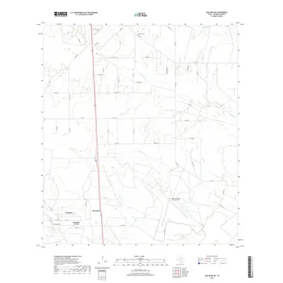
2019 Map of San Diego NE
USGS Topo · Published 2019About this map
Amargosa and the neighboring Amargosa Colonia anchor the southwestern corner of this Jim Wells County landscape, characterized by a complex network of ephemeral drainage creeks and rural ranching infrastructure. The Orange Grove Naval Auxiliary Field occupies a significant portion of the southeastern terrain, while the northern reaches are marked by scattered cultural sites like Dilworth Cem and Owl Ranch. The geography is defined by the winding paths of Agua Dulce Cr, Tecolote Cr, and El Caro Cr, which cut through a grid of county roads and fence lines. This 2019 survey documents a contemporary South Texas environment where modern naval aviation training grounds coexist with established family settlements and local landmarks like Amargosa Cem.
Find a feature on this map
51 named features on this map. Tap any name to fly to it.
Don’t see what you’re looking for? This feature index may not catch every label — zoom into the map to look around manually.
Map Details
Editions of this 2019 San Diego NE Map
This is the sole edition of this map. No revisions or reprints were ever made.
Other maps of this area

1920 · Mikeska
USGS Topo · 1:125,000

1920 · San Diego
USGS Topo · 1:62,500

1925 · Mathis No. 3
USGS Topo · 1:48,000

1927 · Mathis
USGS Topo · 1:62,500

1950 · Corpus Christi
USGS Topo · 1:250,000

1953 · Crystal City
USGS Topo · 1:250,000

1953 · Beeville
USGS Topo · 1:250,000

1954 · Orange Grove
USGS Topo · 1:62,500

1954 · Mathis
USGS Topo · 1:62,500

1955 · Crystal City
USGS Topo · 1:250,000
Featured Places
- Vally-Hi Acres Number 1 Colonia, TX
- Wasicek Colonia, TX
- Agua Dulce Ranch Number 1 Colonia, TX
- Agua Dulce Ranch Number 2 Colonia, TX
- Agua Dulce Ranch Number 3 Colonia, TX