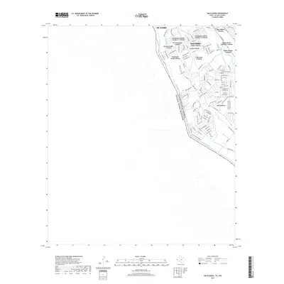
2019 Map of San Elizario
USGS Topo · Published 2019About this map
San Elizario and Socorro define the inhabited landscape of this West Texas border region, where modern residential development meets an intricate network of historical irrigation infrastructure. Situated along the boundary between the United States of America and Estados Unidos Mexicanos, the area is heavily shaped by the course of the Rio Grande. The settlement pattern is characterized by numerous colonias, including Friedman Estates Number 1 and Aljo-Estates Colonia, reflecting the region's rapid growth and unique land-use history.
Find a feature on this map
118 named features on this map. Tap any name to fly to it.
Don’t see what you’re looking for? This feature index may not catch every label — zoom into the map to look around manually.
Map Details
Editions of this 2019 San Elizario Map
This is the sole edition of this map. No revisions or reprints were ever made.
Other maps of this area

1896 · El Paso
USGS Topo · 1:125,000

1896 · Rio Grande
USGS Topo · 1:125,000

1908 · El Paso
USGS Topo · 1:125,000

1939 · Ysleta
USGS Topo · 1:62,500

1941 · Clint
USGS Topo · 1:62,500

1941 · Ysleta
USGS Topo · 1:62,500

1941 · Tornillo
USGS Topo · 1:62,500

1945 · Ysleta
USGS Topo · 1:62,500
1945 · Clint
USGS Topo · 1:62,500
1945 · Tornillo
USGS Topo · 1:62,500