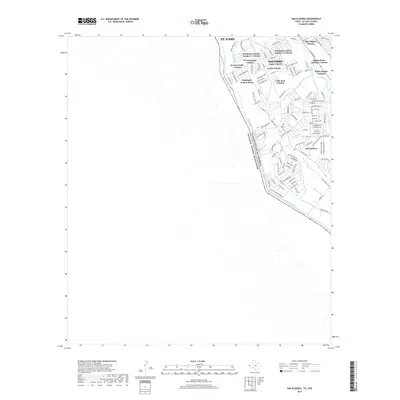
2022 Map of San Elizario
USGS Topo · Published 2022About this map
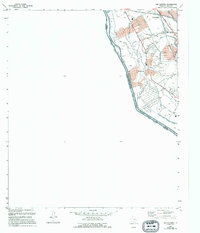
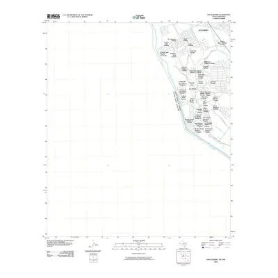
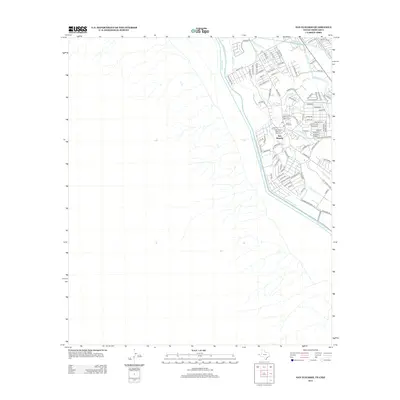
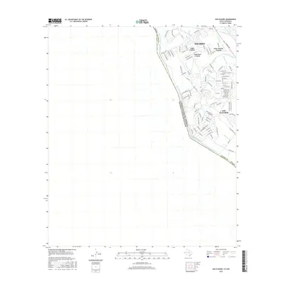
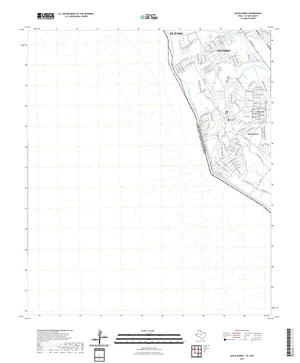
The borderlands of the El Paso Valley are defined by an intricate network of irrigation channels and the winding course of the Rio Grande, which serves as the international boundary between the United States of America and Estados Unidos Mexicanos. This landscape is heavily shaped by agricultural water management, with features like the Riverside Canal, Franklin Canal, and Riverside Intercepting Drain supporting the valley's development. The historic core of San Elizario is clearly visible, containing significant genealogical sites such as San Elizario Cem and the San Elizario Cem Old. Northward, the growing community of Socorro is marked by a grid of residential streets including Flor Bonita Ave and Sylvia Ct. This 2022 survey captures the modern integration of historic settlements within a complex system of laterals and drains, including the San Elizario Lateral and Bernal Lateral.
Find a feature on this map
117 named features on this map. Tap any name to fly to it.
Don’t see what you’re looking for? This feature index may not catch every label — zoom into the map to look around manually.
Map Details
Editions of this 2022 San Elizario Map
This is the sole edition of this map. No revisions or reprints were ever made.
Historical Maps of El Paso Through Time
6 maps found