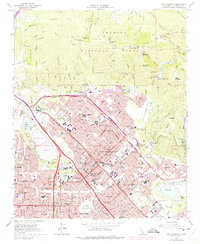
1966 Map of San Fernando
USGS Topo · Published 1975About this map
San Fernando and the northern reaches of the San Fernando Valley are shown here during a period of intense residential expansion and infrastructure development. The landscape is defined by its complex water management and transit networks, featuring the Los Angeles Aqueduct, the Pacoima Diversion Channel, and the large Hansen Dam Park (Flood Control Basin). The 1972 photo-revisions, shown in purple, reveal the rapidly growing urban footprint of neighborhoods like Pacoima and Sylmar, where new subdivisions and schools such as Sylmar High Sch and Haddon Ave Sch were filling in former agricultural lands.
Find a feature on this map
107 named features on this map. Tap any name to fly to it.
Don’t see what you’re looking for? This feature index may not catch every label — zoom into the map to look around manually.
Map Details
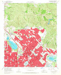
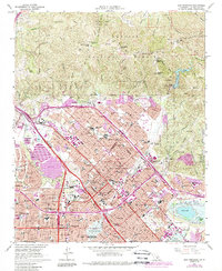
Editions of this 1966 San Fernando Map
3 editions found
Other maps of this area

1894 · Los Angeles
USGS Topo · 1:62,500

1896 · Santa Monica
USGS Topo · 1:62,500

1898 · Santa Monica
USGS Topo · 1:62,500

1900 · Los Angeles
USGS Topo · 1:62,500

1900 · Fernando
USGS Topo · 1:62,500

1901 · Southern California Sheet No. 1
USGS Topo · 1:250,000

1902 · Santa Monica
USGS Topo · 1:62,500

1903 · Calabasas
USGS Topo · 1:62,500

1903 · Camulos
USGS Topo · 1:125,000

1903 · Santa Susana
USGS Topo · 1:62,500