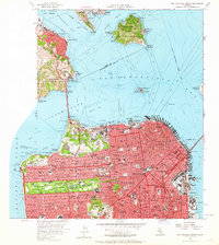
1956 Map of San Francisco North
USGS Topo · Published 1964About this map
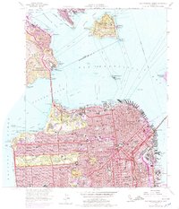
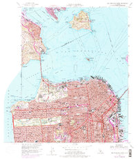
The Golden Gate Bridge dominates this mid-century view, anchoring the connection between the urban grid of San Francisco and the steep headlands of Sausalito. The city is depicted in dense detail, from the historic Chinatown and North Beach districts to the emerging residential blocks of the Sunset District and Richmond District. Military installations are prominent along the shoreline, including the Presidio Military Reservation and Fort Baker Military Reservation, while Alcatraz Island is clearly marked with its Federal Penitentiary. Within the city, public life is visible through the layout of Golden Gate Park, featuring Stow Lake and the Academy of Sciences. The eastern waterfront shows an active maritime landscape defined by Fishermans Wharf, the Ferry Building, and industrial zones like China Basin and Central Basin, illustrating the city's role as a major Pacific port.
Find a feature on this map
166 named features on this map. Tap any name to fly to it.
Don’t see what you’re looking for? This feature index may not catch every label — zoom into the map to look around manually.
Map Details
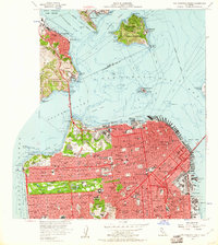
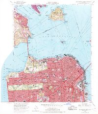
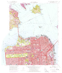
Editions of this 1956 San Francisco North Map
6 editions found
Other maps of this area

1892 · San Mateo
USGS Topo · 1:62,500

1895 · San Francisco
USGS Topo · 1:62,500

1896 · San Mateo
USGS Topo · 1:62,500

1897 · Tamalpais
USGS Topo · 1:62,500

1899 · San Francisco
USGS Topo · 1:62,500

1899 · San Mateo
USGS Topo · 1:62,500

1915 · San Mateo
USGS Topo · 1:62,500

1915 · San Francisco
USGS Topo · 1:62,500

1939 · San Mateo
USGS Topo · 1:62,500

1941 · Tamalpais
USGS Topo · 1:62,500