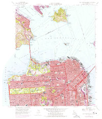
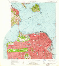
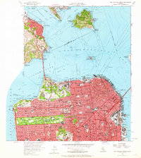
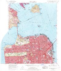
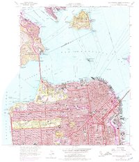
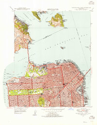
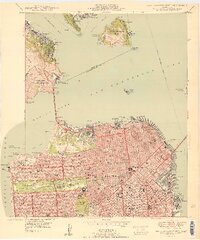
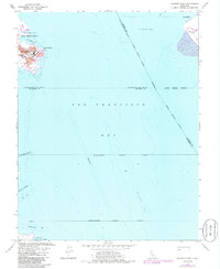
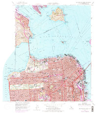
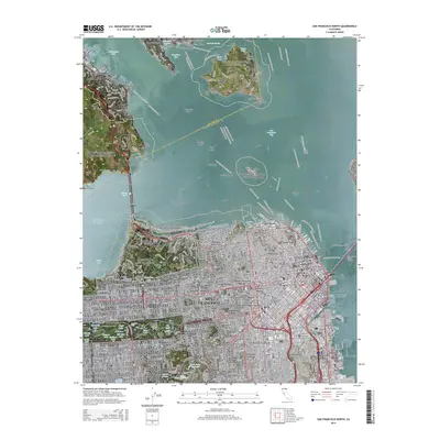
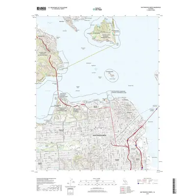
1956 Map of San Francisco North
USGS Topo · Published 1975About this map
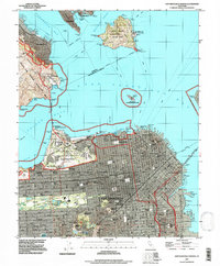
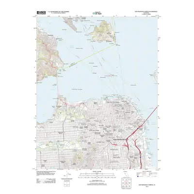
San Francisco's dense urban grid meets the Pacific and the Bay in this mid-century survey, revealing a landscape defined by civic institutions and coastal defense. The city is a tightly packed network of schools and churches, from the Lombard Sch in the north to the Mission H S in the south. The northern waterfront is dominated by maritime and military presence, anchored by the Presidio Military Reservation and the distinctive piers of Fishermans Wharf. Across the Golden Gate, the survey highlights the transition from the city's built environment to the shorelines of Sausalito and the rugged heights of Angel Island.
Find a feature on this map
155 named features on this map. Tap any name to fly to it.
Don’t see what you’re looking for? This feature index may not catch every label — zoom into the map to look around manually.
Map Details
Editions of this 1956 San Francisco North Map
6 editions found
Historical Maps of San Francisco Through Time
32 maps found
1932 La Brun
San Francisco County, CA

1937 San Francisquito
San Francisco County, CA
1947 San Francisco North
San Francisco County, CA
1950 San Francisco North
San Francisco County, CA
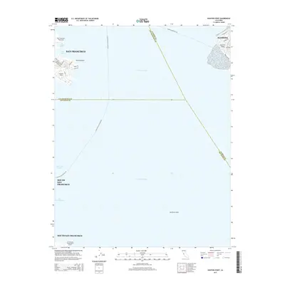
1956 Hunters Point
San Francisco County, CA
1956 San Francisco North
San Francisco County, CA
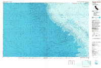
1985 Farallon Islands
San Francisco County, CA
1988 Farallon Islands
San Francisco County, CA
1993 Farallon Islands
San Francisco County, CA
1993 Hunters Point
San Francisco County, CA
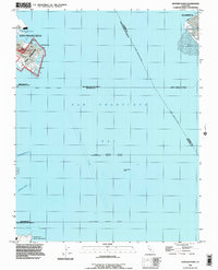
1993 San Francisco North
San Francisco County, CA
1995 San Francisco North
San Francisco County, CA
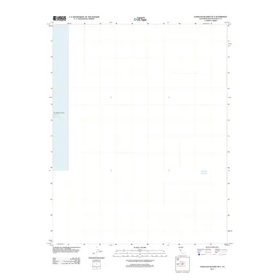
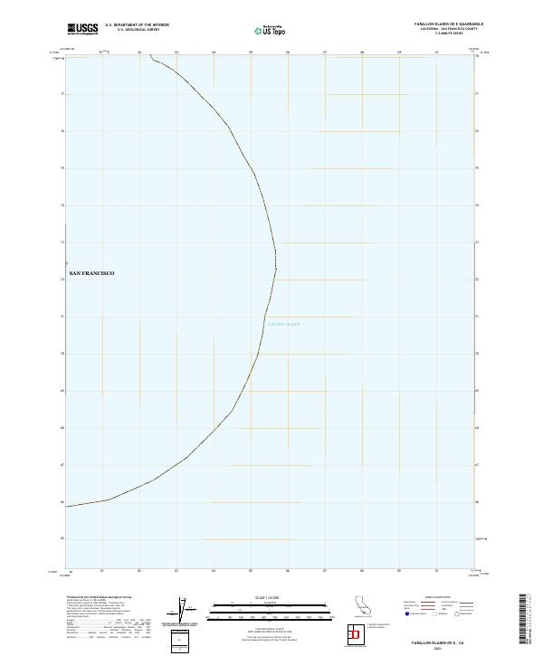
2012 Farallon Islands OE E
San Francisco County, CA
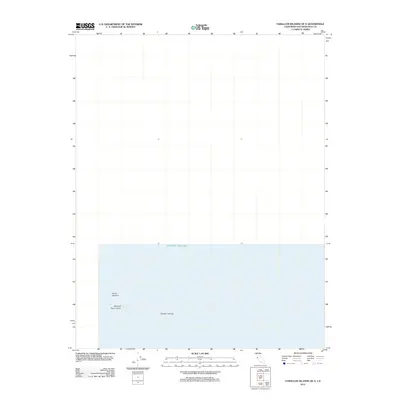
2012 Farallon Islands OE N
San Francisco County, CA
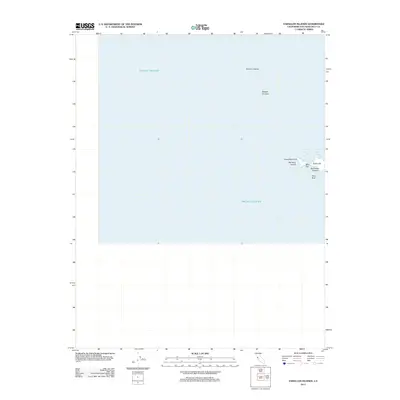
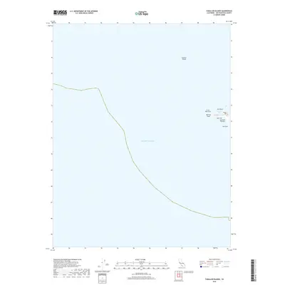
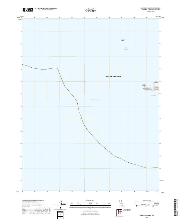
2012 Farallon Islands
San Francisco County, CA
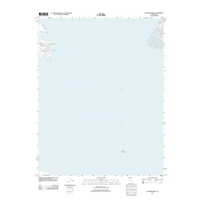
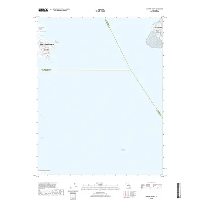
2012 Hunters Point
San Francisco County, CA
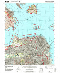
2012 San Francisco North
San Francisco County, CA
2015 Farallon Islands OE E
San Francisco County, CA
2015 Farallon Islands OE N
San Francisco County, CA
2015 Farallon Islands
San Francisco County, CA
2015 Hunters Point
San Francisco County, CA
2015 San Francisco North
San Francisco County, CA
2018 Farallon Islands OE E
San Francisco County, CA
2018 Farallon Islands OE N
San Francisco County, CA
2018 Farallon Islands
San Francisco County, CA
2018 Hunters Point
San Francisco County, CA
2018 San Francisco North
San Francisco County, CA
2021 Farallon Islands OE E
San Francisco County, CA
2021 Farallon Islands OE N
San Francisco County, CA
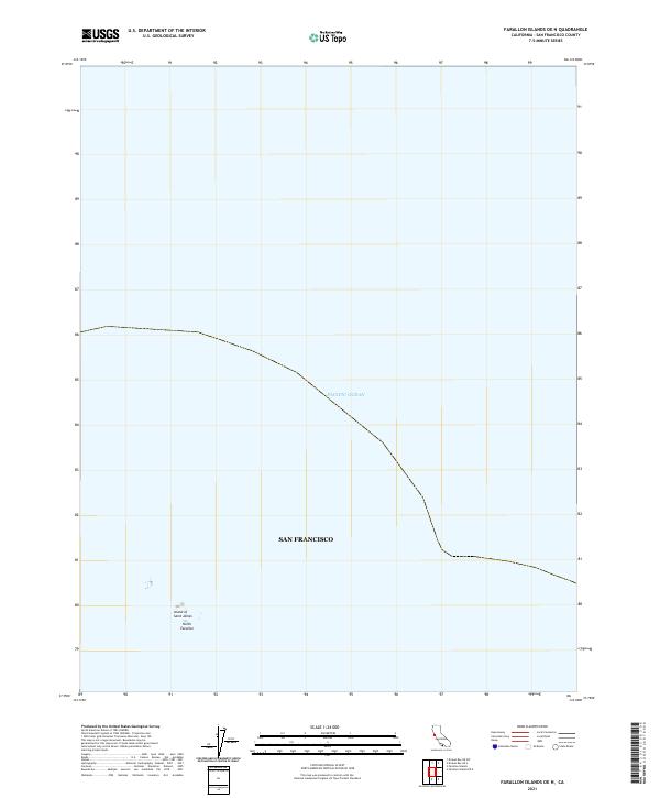
2021 Farallon Islands
San Francisco County, CA
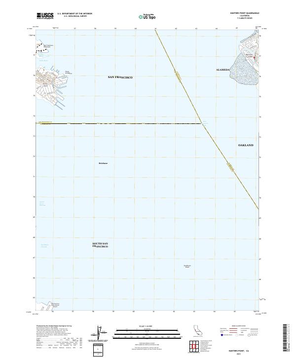
2021 Hunters Point
San Francisco County, CA
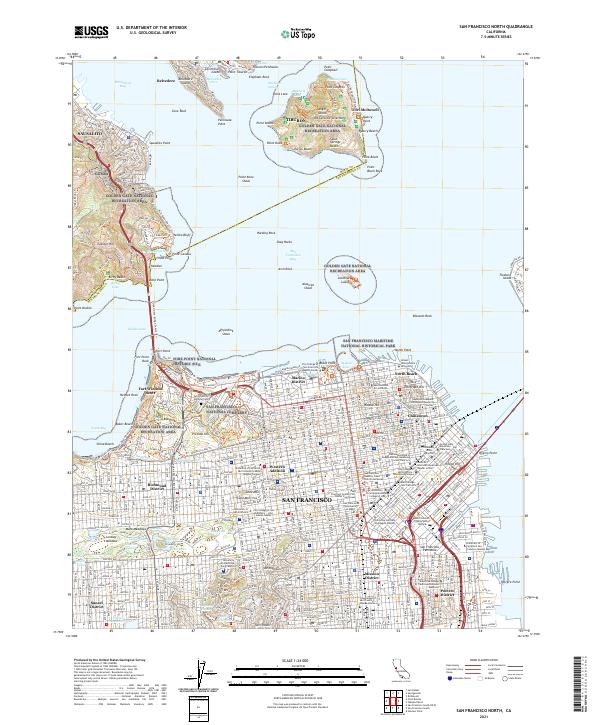
2021 San Francisco North
San Francisco County, CA