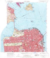
1956 Map of San Francisco North
USGS Topo · Published 1969About this map
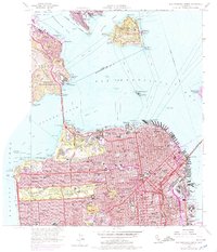
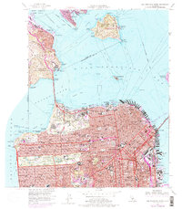
The Golden Gate Bridge anchors this mid-century portrait of the peninsula, spanning the narrows between Fort Baker Military Reservation and the Presidio Military Reservation. The map details a city in a period of significant infrastructural expansion, capturing the early footprints of the Central Skyway and James Lick Memorial Freeway as they begin to thread through the dense grid of the Western Addition and Mission District. Purple revisions from 1968 highlight the evolving urban landscape, including new developments near China Basin and along the northeastern waterfront.
Find a feature on this map
161 named features on this map. Tap any name to fly to it.
Don’t see what you’re looking for? This feature index may not catch every label — zoom into the map to look around manually.
Map Details
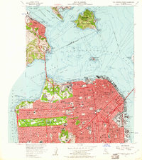
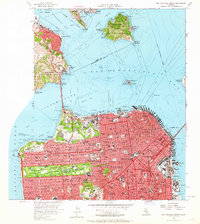
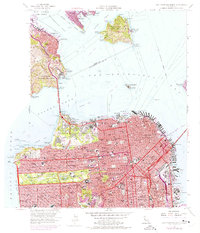
Editions of this 1956 San Francisco North Map
6 editions found
Other maps of this area

1892 · San Mateo
USGS Topo · 1:62,500

1895 · San Francisco
USGS Topo · 1:62,500

1896 · San Mateo
USGS Topo · 1:62,500

1897 · Tamalpais
USGS Topo · 1:62,500

1899 · San Francisco
USGS Topo · 1:62,500

1899 · San Mateo
USGS Topo · 1:62,500

1915 · San Mateo
USGS Topo · 1:62,500

1915 · San Francisco
USGS Topo · 1:62,500

1939 · San Mateo
USGS Topo · 1:62,500

1941 · Tamalpais
USGS Topo · 1:62,500