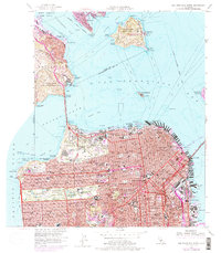
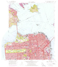
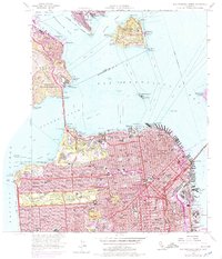
1956 Map of San Francisco North
USGS Topo · Published 1979About this map
San Francisco Bay serves as the focal point for this mid-century topographic record, spanning from the dense urban grids of San Francisco to the residential hills of Sausalito and Belvedere. The landscape is defined by its maritime and military heritage, with the Golden Gate Bridge connecting the Presidio Military Reservation to the Marin Headlands State Park. Prominent landmarks such as Alcatraz Island and Angel Island State Park sit amidst the shipping lanes, while the city's waterfront is anchored by Fishermans Wharf and the Ferry Building.
Find a feature on this map
159 named features on this map. Tap any name to fly to it.
Don’t see what you’re looking for? This feature index may not catch every label — zoom into the map to look around manually.
Map Details
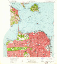
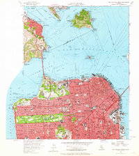
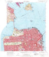
Editions of this 1956 San Francisco North Map
6 editions found
Other maps of this area

1892 · San Mateo
USGS Topo · 1:62,500

1895 · San Francisco
USGS Topo · 1:62,500

1896 · San Mateo
USGS Topo · 1:62,500

1897 · Tamalpais
USGS Topo · 1:62,500

1899 · San Francisco
USGS Topo · 1:62,500

1899 · San Mateo
USGS Topo · 1:62,500

1915 · San Mateo
USGS Topo · 1:62,500

1915 · San Francisco
USGS Topo · 1:62,500

1939 · San Mateo
USGS Topo · 1:62,500

1941 · Tamalpais
USGS Topo · 1:62,500