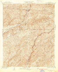
1937 Map of San Francisquito
USGS Topo · Published 1937About this map
The Sierra Pelona range dominates this mid-1930s survey, revealing a landscape defined by critical infrastructure and steep terrain within the Angeles National Forest. Industrial development is centered on the San Francisquito Power House No 1 and its associated Surge Tank, linked to the city by the prominent Los Angeles Transmission Line. These features mark the region's role in the California water and power system following the catastrophic flood event in the canyon nearly a decade prior to this edition.
Find a feature on this map
22 named features on this map. Tap any name to fly to it.
Don’t see what you’re looking for? This feature index may not catch every label — zoom into the map to look around manually.
Map Details
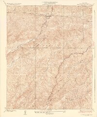
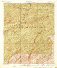
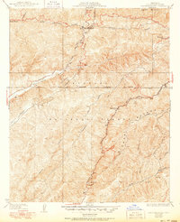
Editions of this 1937 San Francisquito Map
4 editions found
Other maps of this area

1900 · Fernando
USGS Topo · 1:62,500

1901 · Southern California Sheet No. 1
USGS Topo · 1:250,000

1903 · Tejon
USGS Topo · 1:125,000

1903 · Camulos
USGS Topo · 1:125,000

1903 · Santa Susana
USGS Topo · 1:62,500

1904 · Southern California Sheet No. 1
USGS Topo · 1:250,000

1915 · Elizabeth Lake
USGS Topo · 1:125,000

1917 · Elizabeth Lake
USGS Topo · 1:125,000

1929 · Saugus
USGS Topo · 1:24,000

1929 · Lang
USGS Topo · 1:24,000