
1937 Map of San Francisquito
USGS Topo · Published 1951About this map
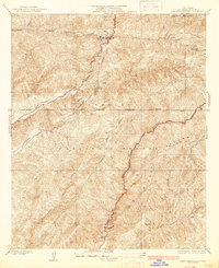
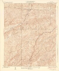
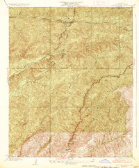
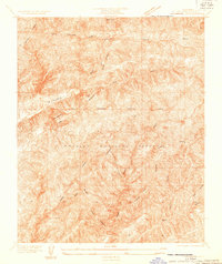
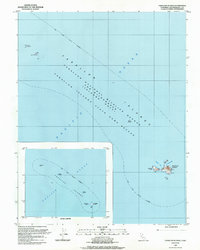
Infrastructure development and the management of Angeles National Forest take center stage in this mid-century survey of the California mountains. The northern portion of the sheet is dominated by the San Francisquito Power House No 1, supported by a complex system of Aqueducts and a Surge Tank that reveal the era's focus on water and power for the growing Los Angeles basin. The landscape is defined by the steep ridges of Jupiter Mountain and the Sierra Pelona range, deeply carved by San Francisquito Canyon and Bouquet Canyon.
Find a feature on this map
34 named features on this map. Tap any name to fly to it.
Don’t see what you’re looking for? This feature index may not catch every label — zoom into the map to look around manually.
Map Details
Editions of this 1937 San Francisquito Map
4 editions found
Historical Maps of Las Cantilles Through Time
32 maps found
1932 La Brun
San Francisco County, CA
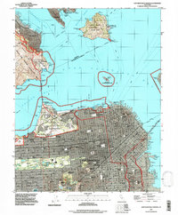
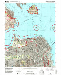
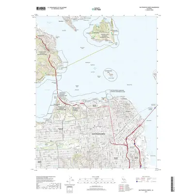
1937 San Francisquito
San Francisco County, CA
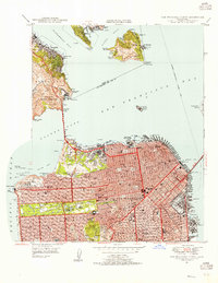
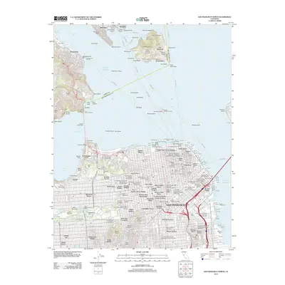
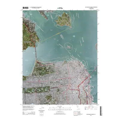
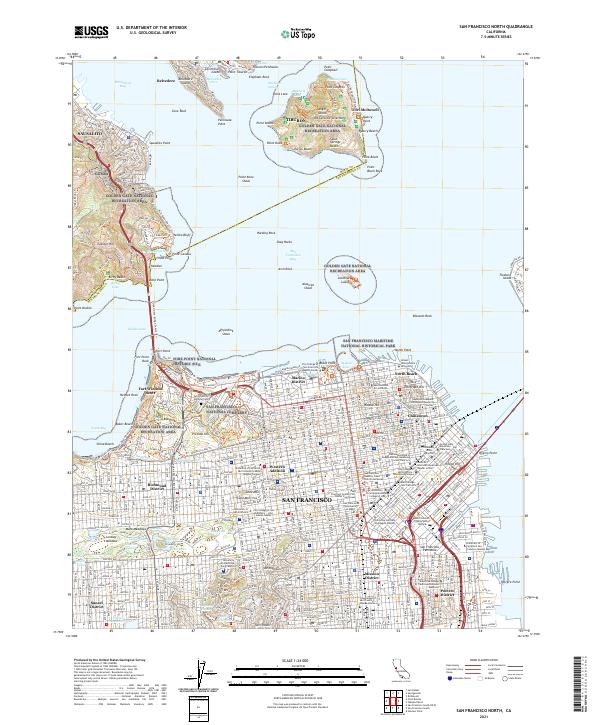
1947 San Francisco North
San Francisco County, CA
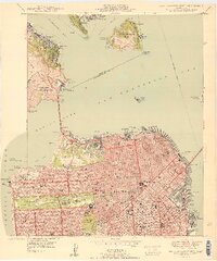
1950 San Francisco North
San Francisco County, CA
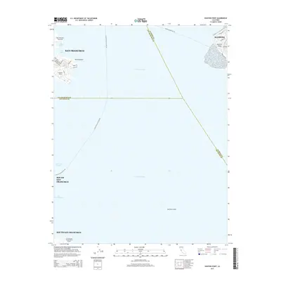
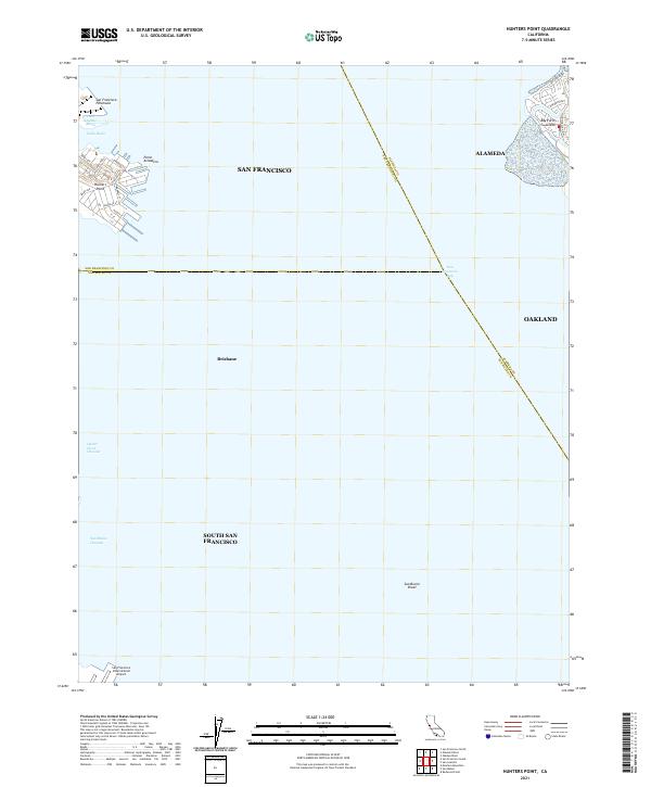
1956 Hunters Point
San Francisco County, CA
1956 San Francisco North
San Francisco County, CA
1985 Farallon Islands
San Francisco County, CA
1988 Farallon Islands
San Francisco County, CA
1993 Farallon Islands
San Francisco County, CA
1993 Hunters Point
San Francisco County, CA
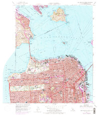
1993 San Francisco North
San Francisco County, CA
1995 San Francisco North
San Francisco County, CA
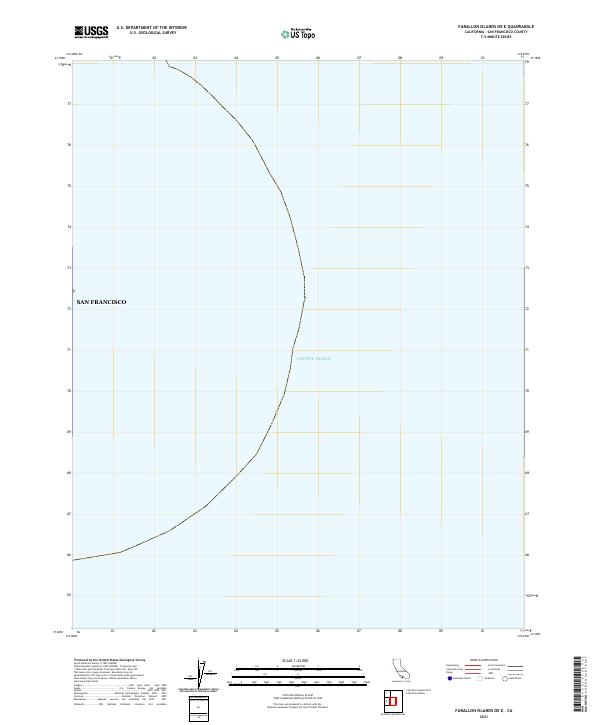
2012 Farallon Islands OE E
San Francisco County, CA
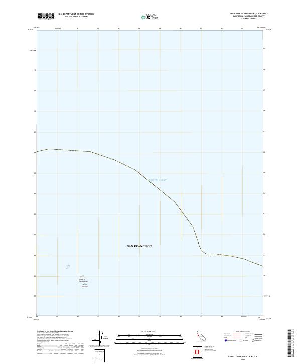
2012 Farallon Islands OE N
San Francisco County, CA
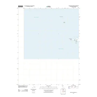
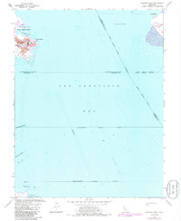
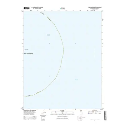
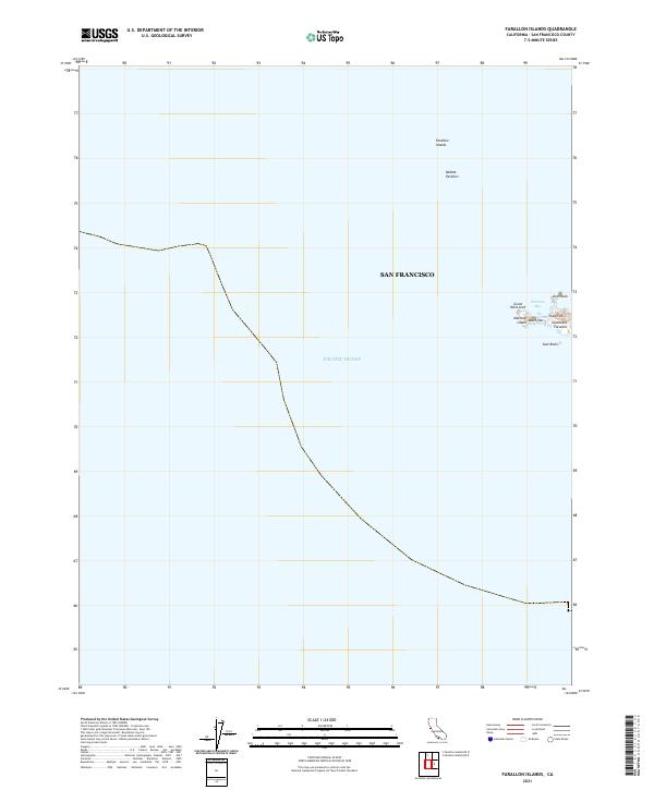
2012 Farallon Islands
San Francisco County, CA
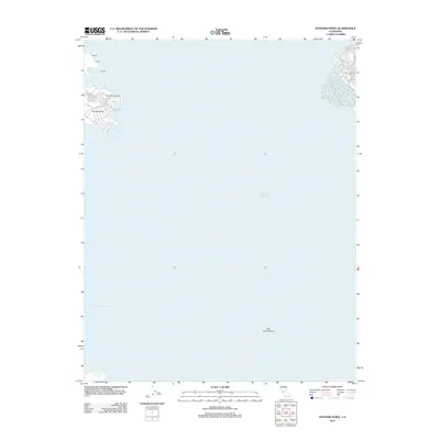
2012 Hunters Point
San Francisco County, CA
2012 San Francisco North
San Francisco County, CA
2015 Farallon Islands OE E
San Francisco County, CA
2015 Farallon Islands OE N
San Francisco County, CA
2015 Farallon Islands
San Francisco County, CA
2015 Hunters Point
San Francisco County, CA
2015 San Francisco North
San Francisco County, CA
2018 Farallon Islands OE E
San Francisco County, CA
2018 Farallon Islands OE N
San Francisco County, CA
2018 Farallon Islands
San Francisco County, CA
2018 Hunters Point
San Francisco County, CA
2018 San Francisco North
San Francisco County, CA
2021 Farallon Islands OE E
San Francisco County, CA
2021 Farallon Islands OE N
San Francisco County, CA
2021 Farallon Islands
San Francisco County, CA
2021 Hunters Point
San Francisco County, CA
2021 San Francisco North
San Francisco County, CA