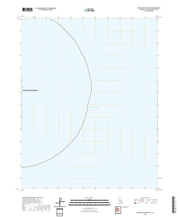
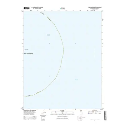
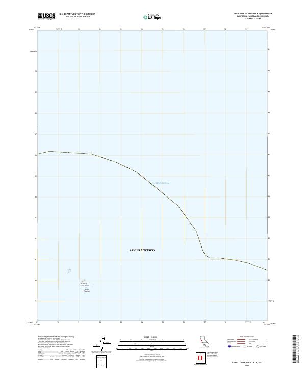
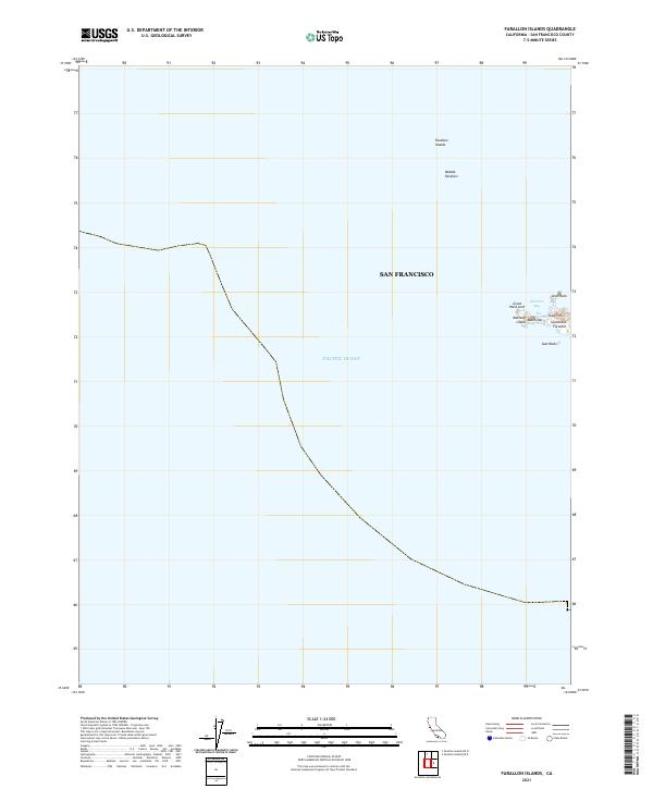
2021 Map of Farallon Islands OE E
USGS Topo · Published 2021About this map
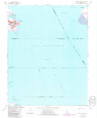
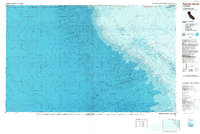
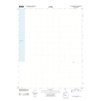
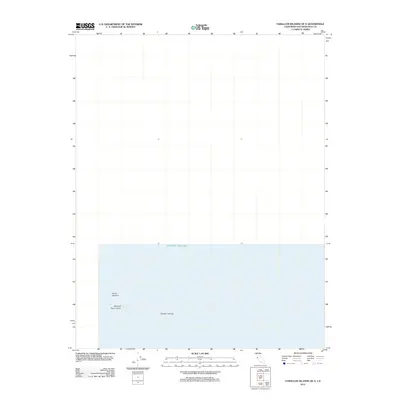
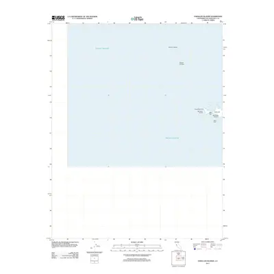
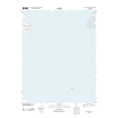
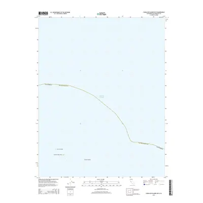
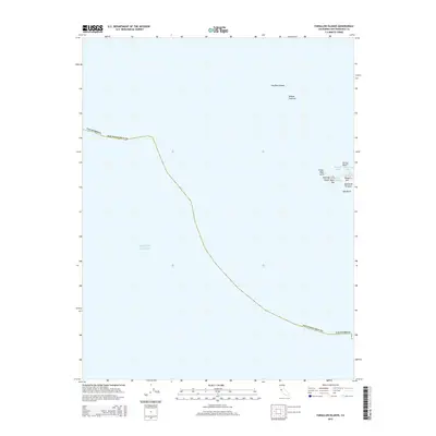
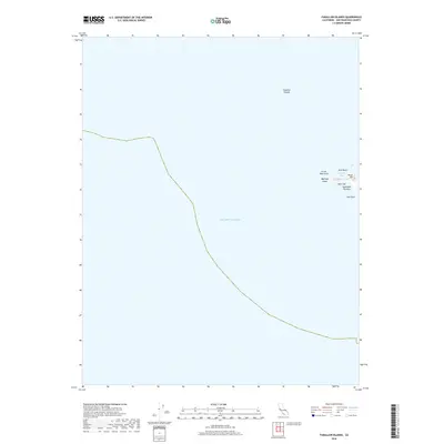
Pacific Ocean waters dominate this 2021 quadrangle, marking the maritime approach to the Golden Gate. The map delineates the administrative boundary for San Francisco, extending the city's jurisdiction far into the open sea. While many coastal sheets focus on terrain and infrastructure, this specific offshore survey is defined by its emptiness, providing an essential spatial record of the marine environment and boundary lines west of the mainland. It serves as a modern cartographic benchmark for the waters surrounding the Farallon Islands, where the deep ocean floor and protected marine zones meet the legal limits of California's most famous peninsula city.
Find a feature on this map
2 named features on this map. Tap any name to fly to it.
Don’t see what you’re looking for? This feature index may not catch every label — zoom into the map to look around manually.
Map Details
Editions of this 2021 Farallon Islands OE E Map
This is the sole edition of this map. No revisions or reprints were ever made.
Historical Maps of San Francisco Through Time
32 maps found
1932 La Brun
San Francisco County, CA

1937 San Francisquito
San Francisco County, CA
1947 San Francisco North
San Francisco County, CA
1950 San Francisco North
San Francisco County, CA
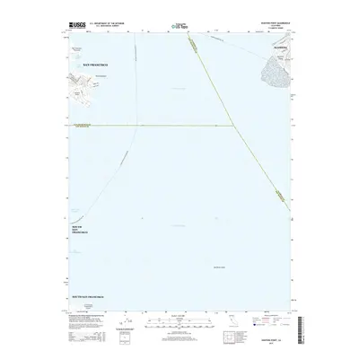
1956 Hunters Point
San Francisco County, CA
1956 San Francisco North
San Francisco County, CA
1985 Farallon Islands
San Francisco County, CA
1988 Farallon Islands
San Francisco County, CA
1993 Farallon Islands
San Francisco County, CA
1993 Hunters Point
San Francisco County, CA
1993 San Francisco North
San Francisco County, CA
1995 San Francisco North
San Francisco County, CA
2012 Farallon Islands OE E
San Francisco County, CA
2012 Farallon Islands OE N
San Francisco County, CA
2012 Farallon Islands
San Francisco County, CA
2012 Hunters Point
San Francisco County, CA
2012 San Francisco North
San Francisco County, CA
2015 Farallon Islands OE E
San Francisco County, CA
2015 Farallon Islands OE N
San Francisco County, CA
2015 Farallon Islands
San Francisco County, CA
2015 Hunters Point
San Francisco County, CA
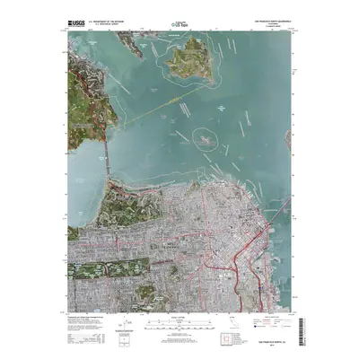
2015 San Francisco North
San Francisco County, CA
2018 Farallon Islands OE E
San Francisco County, CA
2018 Farallon Islands OE N
San Francisco County, CA
2018 Farallon Islands
San Francisco County, CA
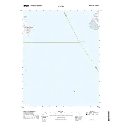
2018 Hunters Point
San Francisco County, CA
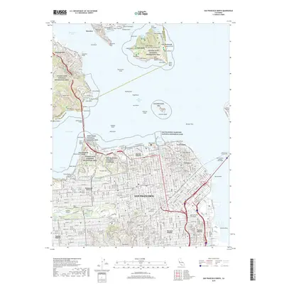
2018 San Francisco North
San Francisco County, CA
2021 Farallon Islands OE E
San Francisco County, CA
2021 Farallon Islands OE N
San Francisco County, CA
2021 Farallon Islands
San Francisco County, CA
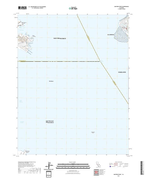
2021 Hunters Point
San Francisco County, CA
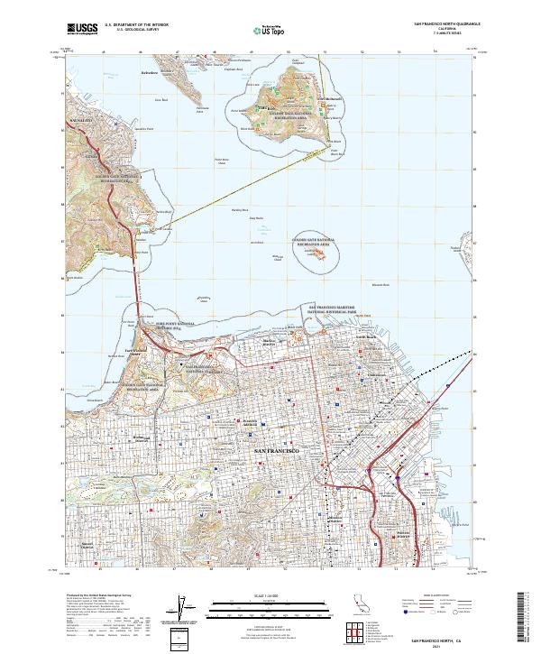
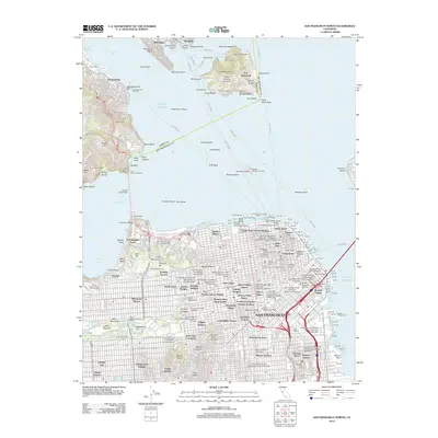
2021 San Francisco North
San Francisco County, CA