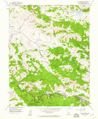
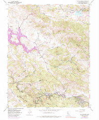
1954 Map of San Geronimo
USGS Topo · Published 1960About this map
Nicasio and the rural valleys of central Marin County appear here in a mid-century snapshot of ranching and early suburban transition. The landscape is defined by large Mexican-era land grants including Corte Madera De Novato and several Nicasio partitions, which preserved large open tracts long after the initial settlement era. Along the valley floor, the Old Railroad Grade traces the path of former transit through Woodacre and San Geronimo, marking the historical importance of the rail corridor to these canyon communities. In the west, the wooded slopes of Samuel P Taylor State Park dominate the terrain near Jewell, while the Novato Creek Dam signifies the postwar infrastructure development supporting the region's growth. Local educational hubs like the Nicasio School and Lagunitas District School serve as primary landmarks for these dispersed mountain and valley settlements.
Find a feature on this map
35 named features on this map. Tap any name to fly to it.
Don’t see what you’re looking for? This feature index may not catch every label — zoom into the map to look around manually.
Map Details
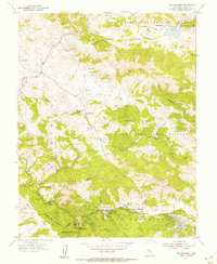
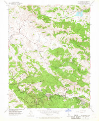
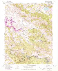
Editions of this 1954 San Geronimo Map
5 editions found
Other maps of this area

1897 · Tamalpais
USGS Topo · 1:62,500

1914 · Petaluma
USGS Topo · 1:62,500

1916 · Point Reyes
USGS Topo · 1:48,000

1918 · Point Reyes
USGS Topo · 1:62,500

1941 · Tamalpais
USGS Topo · 1:62,500

1942 · Petaluma
USGS Topo · 1:62,500

1947 · Santa Rosa
USGS Topo · 1:250,000

1947 · San Francisco
USGS Topo · 1:250,000

1948 · San Francisco
USGS Topo · 1:250,000

1949 · Santa Rosa
USGS Topo · 1:250,000