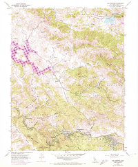
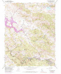
1954 Map of San Geronimo
USGS Topo · Published 1972About this map
The Nicasio Reservoir dominates the western landscape of this mid-century survey, its expansive waters surrounded by the legacy of early California land grants like Corte Madera de Novato and Bolinas y Baulines (Garcia). The document highlights a string of settlements along the southern corridor, including San Geronimo, Forest Knolls, and Lagunitas, linked by the Sir Francis Drake Highway. Local education is anchored by rural institutions such as the Burdell School near Stafford Lake and the Lagunitas District School.
Find a feature on this map
37 named features on this map. Tap any name to fly to it.
Don’t see what you’re looking for? This feature index may not catch every label — zoom into the map to look around manually.
Map Details
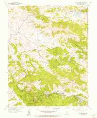
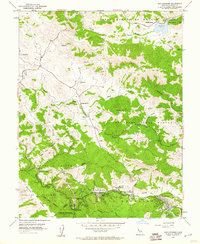
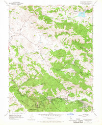
Editions of this 1954 San Geronimo Map
5 editions found
Other maps of this area

1897 · Tamalpais
USGS Topo · 1:62,500

1914 · Petaluma
USGS Topo · 1:62,500

1916 · Point Reyes
USGS Topo · 1:48,000

1918 · Point Reyes
USGS Topo · 1:62,500

1941 · Tamalpais
USGS Topo · 1:62,500

1942 · Petaluma
USGS Topo · 1:62,500

1947 · Santa Rosa
USGS Topo · 1:250,000

1947 · San Francisco
USGS Topo · 1:250,000

1948 · San Francisco
USGS Topo · 1:250,000

1949 · Santa Rosa
USGS Topo · 1:250,000