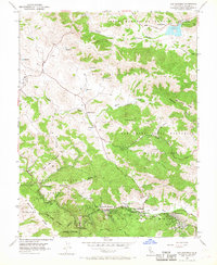
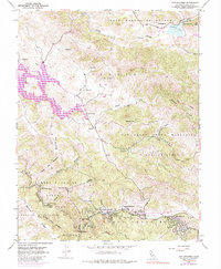
1954 Map of San Geronimo
USGS Topo · Published 1968About this map
Samuel P Taylor State Park anchors the southwestern terrain of this mid-century survey, where the redwood-shaded canyons of Devils Gulch meet the high ridges of Bolinas Ridge. The map documents the valley floor's small-scale infrastructure just as post-war development began to touch these rural communities. Along the southern corridor, the settlements of Lagunitas, Forest Knolls, San Geronimo, and Woodacre follow the path of the Old Railroad Grade and Sir Francis Drake Highway. To the north, the landscape is defined by large Mexican land grants like Corte Madera de Novato and expansive ranching tracts. Local educational landmarks like the Burdell School, Nicasio School, and Lagunitas District School serve as primary points of interest for genealogists tracking family history in the hills between Arroyo Sausal and Nicasio Creek.
Find a feature on this map
49 named features on this map. Tap any name to fly to it.
Don’t see what you’re looking for? This feature index may not catch every label — zoom into the map to look around manually.
Map Details
Editions of this 1954 San Geronimo Map
5 editions found
Other maps of this area

1897 · Tamalpais
USGS Topo · 1:62,500

1914 · Petaluma
USGS Topo · 1:62,500

1916 · Point Reyes
USGS Topo · 1:48,000

1918 · Point Reyes
USGS Topo · 1:62,500

1941 · Tamalpais
USGS Topo · 1:62,500

1942 · Petaluma
USGS Topo · 1:62,500

1947 · Santa Rosa
USGS Topo · 1:250,000

1947 · San Francisco
USGS Topo · 1:250,000

1948 · San Francisco
USGS Topo · 1:250,000

1949 · Santa Rosa
USGS Topo · 1:250,000