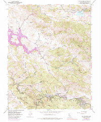
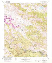
1954 Map of San Geronimo
USGS Topo · Published 1984About this map
The valley of Nicasio and its surrounding coastal hills are defined here by a series of prominent water features and protected lands. The Nicasio Reservoir dominates the western topography, while to the south, the deep canyons of Samuel P Taylor State Park follow the course of Lagunitas Creek. The map documents a corridor of small communities including Forest Knolls, Lagunitas, and Woodacre strung along the Francis Drake Highway. Historical land grant boundaries, such as Corte Madera de Novato and San Geronimo, are still clearly marked, reflecting the region's ranching heritage. Local education and infrastructure are noted through landmarks like the Burdell School and the Filtration Plant near Stafford Lake. The rugged terrain is punctuated by significant peaks like Barnabe Mtn and Shroyer Mtn, with narrow passages like Devils Gulch cutting through the ridges.
Find a feature on this map
44 named features on this map. Tap any name to fly to it.
Don’t see what you’re looking for? This feature index may not catch every label — zoom into the map to look around manually.
Map Details
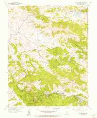
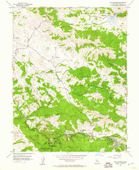
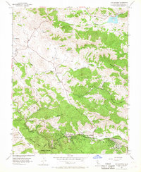
Editions of this 1954 San Geronimo Map
5 editions found
Other maps of this area

1897 · Tamalpais
USGS Topo · 1:62,500

1914 · Petaluma
USGS Topo · 1:62,500

1916 · Point Reyes
USGS Topo · 1:48,000

1918 · Point Reyes
USGS Topo · 1:62,500

1941 · Tamalpais
USGS Topo · 1:62,500

1942 · Petaluma
USGS Topo · 1:62,500

1947 · Santa Rosa
USGS Topo · 1:250,000

1947 · San Francisco
USGS Topo · 1:250,000

1948 · San Francisco
USGS Topo · 1:250,000

1949 · Santa Rosa
USGS Topo · 1:250,000