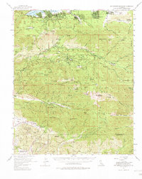
1954 Map of San Gorgonio Mountain
USGS Topo · Published 1981About this map
The San Bernardino National Forest encompasses a landscape of steep canyons and alpine retreats during the mid-1950s. The northern edge is dominated by the development around Big Bear Lake, including Moonridge and the Sugarloaf settlement, while the southern slopes descend toward the Mill Creek drainage. This survey captures a specific era of mountain recreation, evidenced by organized group sites like the Pasadena YMCA Camp and the Long Beach YMCA Camp near Deadmans Lake.
Find a feature on this map
122 named features on this map. Tap any name to fly to it.
Don’t see what you’re looking for? This feature index may not catch every label — zoom into the map to look around manually.
Map Details
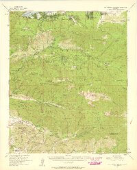
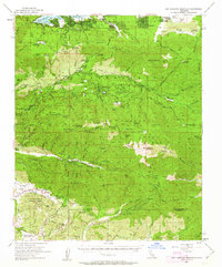
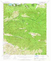
Editions of this 1954 San Gorgonio Mountain Map
5 editions found

Other maps of this area

1899 · Redlands
USGS Topo · 1:62,500

1901 · Southern California Sheet No. 1
USGS Topo · 1:250,000

1901 · San Jacinto
USGS Topo · 1:125,000

1901 · Redlands
USGS Topo · 1:62,500

1901 · Elsinore
USGS Topo · 1:125,000

1902 · Deep Creek
USGS Topo · 1:62,500

1902 · San Gorgonio
USGS Topo · 1:125,000

1904 · Southern California Sheet No. 1
USGS Topo · 1:250,000

1940 · Palm Springs
USGS Topo · 1:62,500

1942 · Banning
USGS Topo · 1:62,500