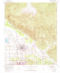
1953 Map of San Jacinto
USGS Topo · Published 1973About this map
San Jacinto and Hemet sit at the foot of the San Jacinto Mountains, where the agricultural valley meets the rising topography of the Soboba Indian Reservation. This survey, compiled from 1949 and 1953 data with 1972 revisions, illustrates the era's infrastructure and leisure sites. The Colorado River Aqueduct and San Jacinto Reservoir underscore the region's managed water resources, while Gilman Hot Springs and Soboba Hot Springs highlight a local economy once centered on mineral water tourism. The rail lines of the Atchison Topeka and Santa Fe serve the town centers, connecting local industry to the wider California network. Residential growth is evident in the gridded streets of the valley floor, extending toward Valle Vista and Park Hill, contrasted by the steep, winding drainages of Massacre Canyon and Castillo Canyon to the north and east.
Find a feature on this map
55 named features on this map. Tap any name to fly to it.
Don’t see what you’re looking for? This feature index may not catch every label — zoom into the map to look around manually.
Map Details
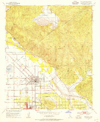
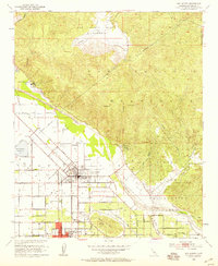
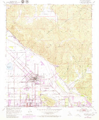
Editions of this 1953 San Jacinto Map
4 editions found
Other maps of this area

1901 · Southern California Sheet No. 1
USGS Topo · 1:250,000

1901 · San Jacinto
USGS Topo · 1:125,000

1901 · Elsinore
USGS Topo · 1:125,000

1904 · Southern California Sheet No. 1
USGS Topo · 1:250,000

1942 · Banning
USGS Topo · 1:62,500

1942 · Hemet
USGS Topo · 1:62,500

1942 · Murrieta
USGS Topo · 1:62,500

1942 · Perris
USGS Topo · 1:62,500

1943 · Perris
USGS Topo · 1:62,500

1943 · Hemet
USGS Topo · 1:62,500