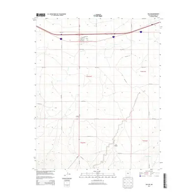
2013 Map of San Jon
USGS Topo · Published 2013About this map
San Jon sits along a critical East-West corridor in the high plains of Quay County, where the local economy and community are shaped by the terrain of the Llano Estacado. The settlement is organized around a grid of streets including E Walnut Ave and E Cherry Ave, with the Po serving as a central hub for the surrounding ranching and transit landscape. To the west, the locality of Garrett and various drainage features like San Jon Cr mark the subtle shifts in elevation across the township.
Find a feature on this map
28 named features on this map. Tap any name to fly to it.
Don’t see what you’re looking for? This feature index may not catch every label — zoom into the map to look around manually.
Map Details
Editions of this 2013 San Jon Map
This is the sole edition of this map. No revisions or reprints were ever made.
Other maps of this area

1954 · Tucumcari
USGS Topo · 1:250,000

1954 · Clovis
USGS Topo · 1:250,000

1958 · Clovis
USGS Topo · 1:250,000

1958 · Tucumcari
USGS Topo · 1:250,000

1968 · Porter
USGS Topo · 1:24,000

1968 · Riley Camp
USGS Topo · 1:24,000

1968 · San Jon
USGS Topo · 1:24,000

1968 · Bard
USGS Topo · 1:24,000

1968 · San Jon NW
USGS Topo · 1:24,000

1968 · Bedford Hill
USGS Topo · 1:24,000