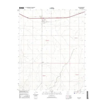
2017 Map of San Jon
USGS Topo · Published 2017About this map
San Jon serves as the focal point of this high-plains landscape in eastern New Mexico, where the legacy of historic travel is etched into the modern grid. The alignment of Rte 66 parallels the interstate, passing just north of the town's residential streets such as E Main Ave and E Walnut St. This geography highlights the evolution of transit across the Llano Estacado, from the original Mother Road to contemporary thoroughfares.
Find a feature on this map
22 named features on this map. Tap any name to fly to it.
Don’t see what you’re looking for? This feature index may not catch every label — zoom into the map to look around manually.
Map Details
Editions of this 2017 San Jon Map
This is the sole edition of this map. No revisions or reprints were ever made.
Other maps of this area

1954 · Tucumcari
USGS Topo · 1:250,000

1954 · Clovis
USGS Topo · 1:250,000

1958 · Clovis
USGS Topo · 1:250,000

1958 · Tucumcari
USGS Topo · 1:250,000

1968 · Porter
USGS Topo · 1:24,000

1968 · Riley Camp
USGS Topo · 1:24,000

1968 · San Jon
USGS Topo · 1:24,000

1968 · Bard
USGS Topo · 1:24,000

1968 · San Jon NW
USGS Topo · 1:24,000

1968 · Bedford Hill
USGS Topo · 1:24,000