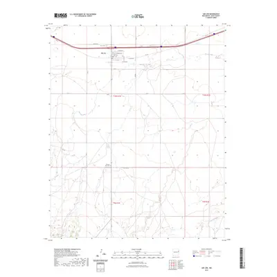
2023 Map of San Jon
USGS Topo · Published 2023About this map
San Jon serves as the central hub of this eastern New Mexico landscape, situated at a transition between the high plains and the drainage of San Jon Creek. The town's grid is clearly defined by historical thoroughfares including E Main Ave, E Cherry Ave, and the iconic Rte 66, reflecting its significance as a stop for travelers on the Mother Road. To the south, the terrain becomes more complex as it descends toward Arroyo Saladito and the rugged breaks of the Llano Estacado. Evidence of the area's pioneer heritage is preserved at San Jon Cem near the town center and the more isolated Pleasant Valley Cem further south. This 2023 survey documents the intersection of modern interstate infrastructure with the traditional rural road network, such as Quay Road 54 and the uniquely named Q R R.
Find a feature on this map
23 named features on this map. Tap any name to fly to it.
Don’t see what you’re looking for? This feature index may not catch every label — zoom into the map to look around manually.
Map Details
Editions of this 2023 San Jon Map
This is the sole edition of this map. No revisions or reprints were ever made.
Other maps of this area

1954 · Tucumcari
USGS Topo · 1:250,000

1954 · Clovis
USGS Topo · 1:250,000

1958 · Clovis
USGS Topo · 1:250,000

1958 · Tucumcari
USGS Topo · 1:250,000

1968 · Porter
USGS Topo · 1:24,000

1968 · Riley Camp
USGS Topo · 1:24,000

1968 · San Jon
USGS Topo · 1:24,000

1968 · Bard
USGS Topo · 1:24,000

1968 · San Jon NW
USGS Topo · 1:24,000

1968 · Bedford Hill
USGS Topo · 1:24,000