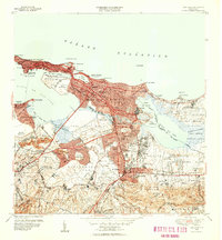
1949 Map of San Juan
USGS Topo · Published 1952About this map
The islet of Antiguo serves as the historic anchor of this mid-century portrait, where the iconic fortifications of Fort Brooke and La Fortaleza overlook the Bahía de San Juan. The 1949 revision captures a capital in rapid transition, showing the dense urban expansion through Santurce and into the burgeoning districts of Hato Rey and Río Piedras. Institutional development is prominent, from the sprawling campus of the Universidad de Puerto Rico and the Colegio del Sagrado Corazón to social projects like Barriada Eleanor Roosevelt and Caserío Lopez Sicardó.
Find a feature on this map
128 named features on this map. Tap any name to fly to it.
Don’t see what you’re looking for? This feature index may not catch every label — zoom into the map to look around manually.
Map Details
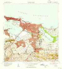
Editions of this 1949 San Juan Map
2 editions found
Other maps of this area

1940 · Carolina
USGS Topo · 1:30,000

1941 · Bayamon
USGS Topo · 1:30,000

1941 · San Juan
USGS Topo · 1:30,000

1941 · Carolina
USGS Topo · 1:30,000

1946 · Aguas Buenas
USGS Topo · 1:30,000

1946 · Naranjito
USGS Topo · 1:30,000

1946 · Gurabo
USGS Topo · 1:30,000

1947 · Carolina
USGS Topo · 1:30,000

1947 · Aguas Buenas NO
USGS Topo · 1:10,000

1947 · Bayamon
USGS Topo · 1:30,000