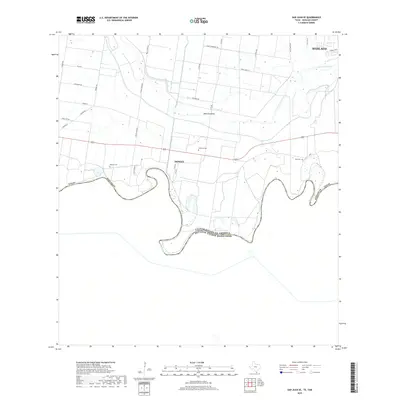
2019 Map of San Juan SE
USGS Topo · Published 2019About this map
The Rio Grande defines the southern boundary of this South Texas landscape, where the international border with Mexico follows the river's winding course. North of the river, a complex network of irrigation and water management infrastructure, including the Donna Main Canal and the Main Floodway, supports the agricultural character of the region. The map captures the organized grid of rural roads and highways that connect the settlements of Donna and Weslaco, illustrating the transition from traditional citrus and vegetable farming toward modern residential developments like Tierra Santa. Local family and community history is preserved in several small burial grounds scattered throughout the quadrangle, notably Webber Cem, Asadores Cem, and Balli Cem, which serve as landmarks amidst the expansive fields and drainage channels like Arroyo Colorado.
Find a feature on this map
34 named features on this map. Tap any name to fly to it.
Don’t see what you’re looking for? This feature index may not catch every label — zoom into the map to look around manually.
Map Details
Editions of this 2019 San Juan SE Map
This is the sole edition of this map. No revisions or reprints were ever made.
Other maps of this area

1914 · San Juan
USGS Topo · 1:48,000

1916 · San Juan
USGS Topo · 1:62,500

1949 · Mc Allen
USGS Topo · 1:250,000

1953 · Brownsville
USGS Topo · 1:250,000

1954 · McAllen
USGS Topo · 1:250,000

1956 · Mercedes
USGS Topo · 1:24,000
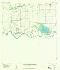
1956 · Progreso
USGS Topo · 1:24,000

1956 · Brownsville
USGS Topo · 1:250,000

1956 · Port Isabel
USGS Topo · 1:250,000

1957 · Mc Allen
USGS Topo · 1:250,000