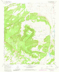
1963 Map of San Lucas Dam
USGS Topo · Published 1981About this map
San Mateo Mesa dominates this McKinley County landscape, where the high desert terrain is marked by a complex system of canyons and water management features within the Cibola National Forest. The eastern portion of the survey highlights the vital role of water storage in this arid environment, centered around San Lucas Dam and the Leopoldo Diversion Dam. Nearby, Laguna Polvadera and several smaller stock tanks like Jose Gabriel Tank and Michael Tank illustrate the infrastructure required for ranching and settlement in the mid-20th century.
Find a feature on this map
41 named features on this map. Tap any name to fly to it.
Don’t see what you’re looking for? This feature index may not catch every label — zoom into the map to look around manually.
Map Details
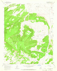
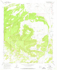
Editions of this 1963 San Lucas Dam Map
3 editions found
Other maps of this area

1883 · Mt. Taylor
USGS Topo · 1:250,000

1886 · Mt. Taylor
USGS Topo · 1:250,000

1892 · Mt. Taylor
USGS Topo · 1:250,000

1899 · Mt. Taylor
USGS Topo · 1:250,000

1957 · Ambrosia Lake
USGS Topo · 1:24,000

1957 · Dos Lomas
USGS Topo · 1:24,000

1958 · Albuquerque
USGS Topo · 1:250,000

1961 · El Dado
USGS Topo · 1:24,000

1961 · Piedra De La Aguila
USGS Topo · 1:24,000

1962 · Albuquerque
USGS Topo · 1:250,000