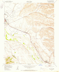
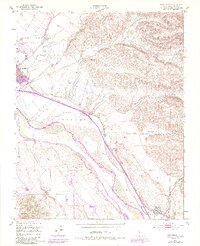
1949 Map of San Lucas
USGS Topo · Published 1953About this map
The Salinas River valley in the late 1940s is dominated by the industrial and transport corridor of the Southern Pacific railroad. This survey captures the rural landscape between King City and San Lucas, where agricultural life is anchored by the river's path and the surrounding canyons. Small rail stops like Welby mark the importance of the rail line to the local economy, while the Airport and Sewage Disposal plant near King City reflect the mid-century municipal growth of the area.
Find a feature on this map
17 named features on this map. Tap any name to fly to it.
Don’t see what you’re looking for? This feature index may not catch every label — zoom into the map to look around manually.
Map Details
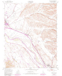
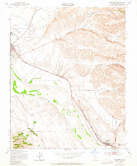
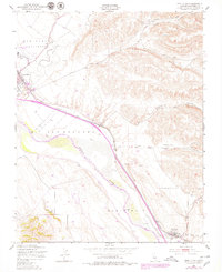
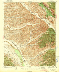
Editions of this 1949 San Lucas Map
5 editions found
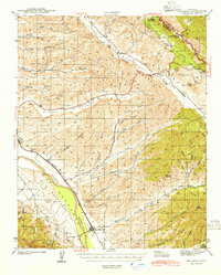
Other maps of this area

1912 · San Ardo
USGS Topo · 1:31,680

1912 · Metz
USGS Topo · 1:31,680

1915 · Priest Valley
USGS Topo · 1:125,000

1919 · King City
USGS Topo · 1:62,500

1921 · Metz
USGS Topo · 1:62,500

1939 · King City
USGS Topo · 1:62,500

1940 · Metz
USGS Topo · 1:62,500
1941 · San Ardo
USGS Topo · 1:62,500
1943 · San Ardo
USGS Topo · 1:62,500

1943 · Hernandez Valley
USGS Topo · 1:62,500