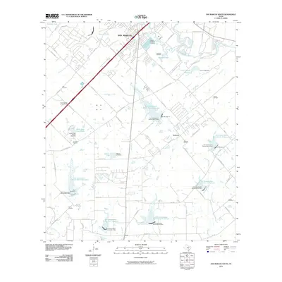
2010 Map of San Marcos South
USGS Topo · Published 2010About this map
The San Marcos River and Blanco River converge in the northeast corner of this quadrangle, shaping a landscape defined by water management and transit. In 2010, the area shows a complex network of man-made reservoirs managed by the Soil Conservation Service, including numerous sites along Cottonwood Creek and Long Creek. These reservoirs, such as Webster Lake and Scrutchin Lake, speak to the region's efforts to control drainage across the terrain south of San Marcos.
Find a feature on this map
84 named features on this map. Tap any name to fly to it.
Don’t see what you’re looking for? This feature index may not catch every label — zoom into the map to look around manually.
Map Details
Editions of this 2010 San Marcos South Map
This is the sole edition of this map. No revisions or reprints were ever made.
Other maps of this area

1911 · San Marcos
USGS Topo · 1:125,000

1919 · San Marcos
USGS Topo · 1:125,000

1925 · New Braunfels No 1
USGS Topo · 1:48,000

1927 · New Braunfels
USGS Topo · 1:62,500

1929 · Hunter
USGS Topo · 1:62,500

1930 · Seguin
USGS Topo · 1:62,500

1953 · Seguin
USGS Topo · 1:250,000

1954 · San Antonio
USGS Topo · 1:250,000

1957 · San Antonio
USGS Topo · 1:250,000

1958 · Seguin
USGS Topo · 1:250,000