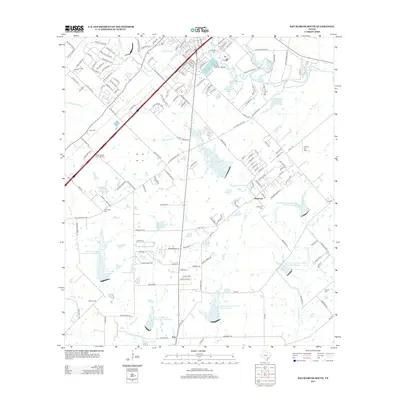
2013 Map of San Marcos South
USGS Topo · Published 2013About this map
The Blanco River sweeps across the northeastern corner of this landscape, marking the transition from the edges of San Marcos into the surrounding Texas countryside. This 2013 survey illustrates a complex water management system characterized by numerous reservoirs, including Soil Conservation Service Site 13 Reservoir and Soil Conservation Service Site 7 Reservoir, designed to manage drainage for Cottonwood Cr and York Cr. The development of Prime Outlets at San Marcos along S I-35 contrasts with the traditional rural character found near Redwood and Zorn.
Find a feature on this map
161 named features on this map. Tap any name to fly to it.
Don’t see what you’re looking for? This feature index may not catch every label — zoom into the map to look around manually.
Map Details
Editions of this 2013 San Marcos South Map
This is the sole edition of this map. No revisions or reprints were ever made.
Other maps of this area

1911 · San Marcos
USGS Topo · 1:125,000

1919 · San Marcos
USGS Topo · 1:125,000

1925 · New Braunfels No 1
USGS Topo · 1:48,000

1927 · New Braunfels
USGS Topo · 1:62,500

1929 · Hunter
USGS Topo · 1:62,500

1930 · Seguin
USGS Topo · 1:62,500

1953 · Seguin
USGS Topo · 1:250,000

1954 · San Antonio
USGS Topo · 1:250,000

1957 · San Antonio
USGS Topo · 1:250,000

1958 · Seguin
USGS Topo · 1:250,000