
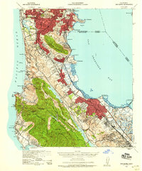
1939 Map of San Mateo
USGS Topo · Published 1956About this map
San Bruno Mountain and the high ridges of the Peninsula dominate the terrain just south of the San Francisco city line in the years preceding the post-war suburban boom. Along the western edge of the valley, the Southern Pacific rail line threads together a string of early communities from Daly City and Colma down to San Mateo and San Carlos. This era is defined by significant institutional footprints, from the cluster of memorial sites like Cypress Lawn Cem and the Golden Gate National Cem to specialized facilities such as the California Sanitorium. Along the Pacific Ocean, small coastal outposts like Rockaway Beach and Montara are isolated by the steep terrain of Pedro Mountain and the Devils Slide. The eastern shore features the industrial and maritime activity of Hunter Pt and Candlestick Pt, while the San Mateo Toll Bridge provides a vital link across the bay.
Find a feature on this map
89 named features on this map. Tap any name to fly to it.
Don’t see what you’re looking for? This feature index may not catch every label — zoom into the map to look around manually.
Map Details
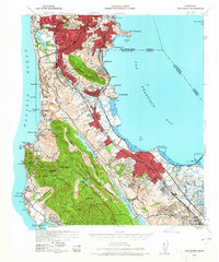
Editions of this 1939 San Mateo Map
3 editions found
Other maps of this area

1892 · San Mateo
USGS Topo · 1:62,500

1895 · San Francisco
USGS Topo · 1:62,500

1896 · San Mateo
USGS Topo · 1:62,500

1897 · Concord
USGS Topo · 1:62,500

1897 · Palo Alto
USGS Topo · 1:62,500

1897 · Tamalpais
USGS Topo · 1:62,500

1899 · San Francisco
USGS Topo · 1:62,500

1899 · Palo Alto
USGS Topo · 1:62,500

1899 · Haywards
USGS Topo · 1:62,500

1899 · San Mateo
USGS Topo · 1:62,500