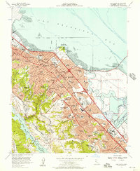
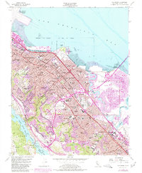
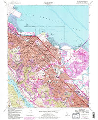
1956 Map of San Mateo
USGS Topo · Published 1957About this map
San Mateo and its neighboring Peninsula communities appear here during a period of rapid mid-century expansion. The landscape is defined by the proximity of the San Francisco Bay to the rising foothills, with the Bayshore Freeway and El Camino Real serving as the primary north-south arteries. Urban development is visible through a dense network of local institutions, from the College of San Mateo to numerous neighborhood schools like Sunnybrae Sch and Meadow Heights.
Find a feature on this map
115 named features on this map. Tap any name to fly to it.
Don’t see what you’re looking for? This feature index may not catch every label — zoom into the map to look around manually.
Map Details
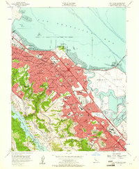
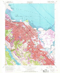
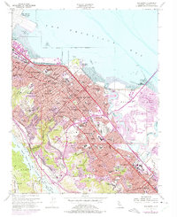
Editions of this 1956 San Mateo Map
6 editions found
Other maps of this area

1892 · San Mateo
USGS Topo · 1:62,500

1896 · San Mateo
USGS Topo · 1:62,500

1897 · Palo Alto
USGS Topo · 1:62,500

1899 · Palo Alto
USGS Topo · 1:62,500

1899 · Haywards
USGS Topo · 1:62,500

1899 · San Mateo
USGS Topo · 1:62,500

1902 · Santa Cruz
USGS Topo · 1:125,000

1915 · San Mateo
USGS Topo · 1:62,500

1915 · Haywards
USGS Topo · 1:62,500

1939 · San Mateo
USGS Topo · 1:62,500