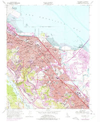
1956 Map of San Mateo
USGS Topo · Published 1975About this map
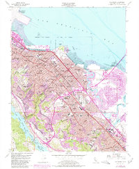
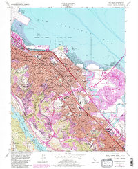
San Francisco Bay defines the eastern edge of this mid-century landscape, where the tidal flats of Seal Slough and Belmont Slough meet the rapid post-war expansion of the Peninsula. The map captures a moment of significant transition, with the purple-tinted revisions of the early 1970s showing the emergence of Foster City on Brewer Island, a massive land-reclamation project replacing former marshlands. To the west, the residential patterns of Hillsborough and Burlingame climb toward Pulgas Ridge, bordered by the protected waters of the San Francisco Fish and Game Refuge and San Andreas Lake. Civic and leisure life are well-documented through landmarks like the Bay Meadows Racetrack, the Fiesta Grounds, and the College of Notre Dame. Transportation corridors including the Southern Pacific railroad and the Bayshore Freeway anchor the urban development of San Mateo and Belmont.
Find a feature on this map
88 named features on this map. Tap any name to fly to it.
Don’t see what you’re looking for? This feature index may not catch every label — zoom into the map to look around manually.
Map Details
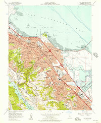
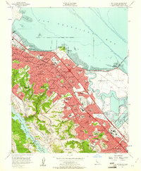
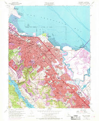
Editions of this 1956 San Mateo Map
6 editions found
Other maps of this area

1892 · San Mateo
USGS Topo · 1:62,500

1896 · San Mateo
USGS Topo · 1:62,500

1897 · Palo Alto
USGS Topo · 1:62,500

1899 · Palo Alto
USGS Topo · 1:62,500

1899 · Haywards
USGS Topo · 1:62,500

1899 · San Mateo
USGS Topo · 1:62,500

1902 · Santa Cruz
USGS Topo · 1:125,000

1915 · San Mateo
USGS Topo · 1:62,500

1915 · Haywards
USGS Topo · 1:62,500

1939 · San Mateo
USGS Topo · 1:62,500