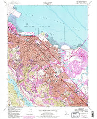
1956 Map of San Mateo
USGS Topo · Published 1984About this map
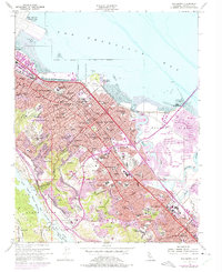
San Francisco Bay defines the eastern edge of this coastal landscape, where the mid-century expansion of San Mateo and Burlingame meets the reclaimed lands of Brewer Island. The map illustrates a period of intense post-war suburbanization, indicated by the purple tinting of newer developments like Foster City and the sprawling Fiesta Gardens. Transportation networks are a primary focus, featuring the Southern Pacific rail line and the growing corridor of the Bayshore Freeway.
Find a feature on this map
113 named features on this map. Tap any name to fly to it.
Don’t see what you’re looking for? This feature index may not catch every label — zoom into the map to look around manually.
Map Details
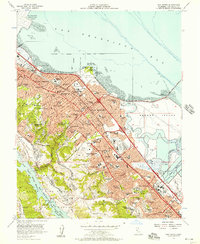
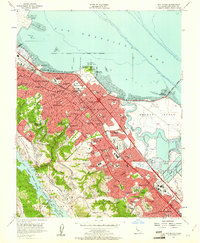
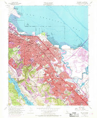
Editions of this 1956 San Mateo Map
6 editions found
Other maps of this area

1892 · San Mateo
USGS Topo · 1:62,500

1896 · San Mateo
USGS Topo · 1:62,500

1897 · Palo Alto
USGS Topo · 1:62,500

1899 · Palo Alto
USGS Topo · 1:62,500

1899 · Haywards
USGS Topo · 1:62,500

1899 · San Mateo
USGS Topo · 1:62,500

1902 · Santa Cruz
USGS Topo · 1:125,000

1915 · San Mateo
USGS Topo · 1:62,500

1915 · Haywards
USGS Topo · 1:62,500

1939 · San Mateo
USGS Topo · 1:62,500