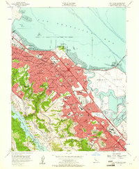
1956 Map of San Mateo
USGS Topo · Published 1961About this map
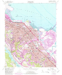
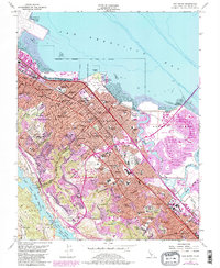
San Francisco Bay defines the eastern edge of this mid-century Peninsula landscape, where suburban expansion meets the marshlands of Brewer Island and the tidal flats near Coyote Point. The post-war era is evident in the dense residential development of San Mateo, Burlingame, and Belmont, all anchored by the Southern Pacific rail line and the growing Bayshore Freeway. This survey shows a community in transition, balancing large-scale recreation and institutional growth with established neighborhoods. Notable landmarks include the Bay Meadows Racetrack, the Fiesta Grounds, and the hilltop campus of the College of San Mateo. To the west, the terrain rises sharply toward Buri Buri Ridge and Black Mtn, where the San Mateo County Fish and Game Refuge protects the vital waters of the Crystal Springs Reservoir and San Andreas Lake.
Find a feature on this map
90 named features on this map. Tap any name to fly to it.
Don’t see what you’re looking for? This feature index may not catch every label — zoom into the map to look around manually.
Map Details
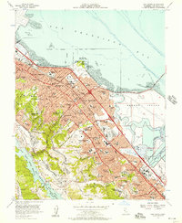
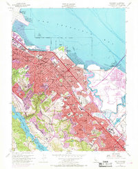
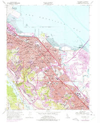
Editions of this 1956 San Mateo Map
6 editions found
Other maps of this area

1892 · San Mateo
USGS Topo · 1:62,500

1896 · San Mateo
USGS Topo · 1:62,500

1897 · Palo Alto
USGS Topo · 1:62,500

1899 · Palo Alto
USGS Topo · 1:62,500

1899 · Haywards
USGS Topo · 1:62,500

1899 · San Mateo
USGS Topo · 1:62,500

1902 · Santa Cruz
USGS Topo · 1:125,000

1915 · San Mateo
USGS Topo · 1:62,500

1915 · Haywards
USGS Topo · 1:62,500

1939 · San Mateo
USGS Topo · 1:62,500