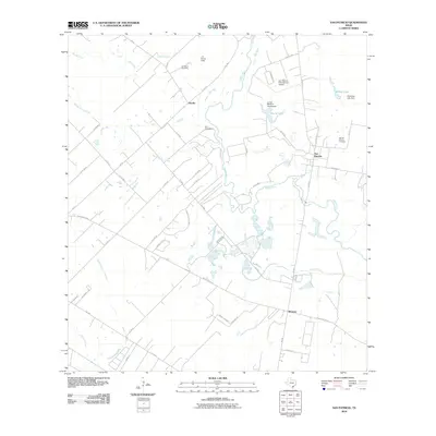
2010 Map of San Patricio
USGS Topo · Published 2010About this map
The Nueces River winds through this coastal bend landscape, defining the geography of historic settlements like San Patricio and Bluntzer. The map documents important cultural sites, including the James McGloin Homestead and the location of Fort Lipantitlan, marking the transition from early Texas colonization to modern land use. The river's meandering course is flanked by numerous tributaries such as Sandy Hollow Creek, Cayamon Creek, and Javelin Creek, which historically supported the ranching and agricultural operations in the area.
Find a feature on this map
56 named features on this map. Tap any name to fly to it.
Don’t see what you’re looking for? This feature index may not catch every label — zoom into the map to look around manually.
Map Details
Editions of this 2010 San Patricio Map
This is the sole edition of this map. No revisions or reprints were ever made.
Other maps of this area

1925 · Robstown
USGS Topo · 1:62,500

1925 · Mathis No. 3
USGS Topo · 1:48,000

1927 · Mathis
USGS Topo · 1:62,500

1950 · Corpus Christi
USGS Topo · 1:250,000

1953 · Beeville
USGS Topo · 1:250,000

1954 · Orange Grove
USGS Topo · 1:62,500

1954 · Robstown
USGS Topo · 1:62,500

1954 · Mathis
USGS Topo · 1:62,500

1954 · Sinton
USGS Topo · 1:62,500

1956 · Corpus Christi
USGS Topo · 1:250,000