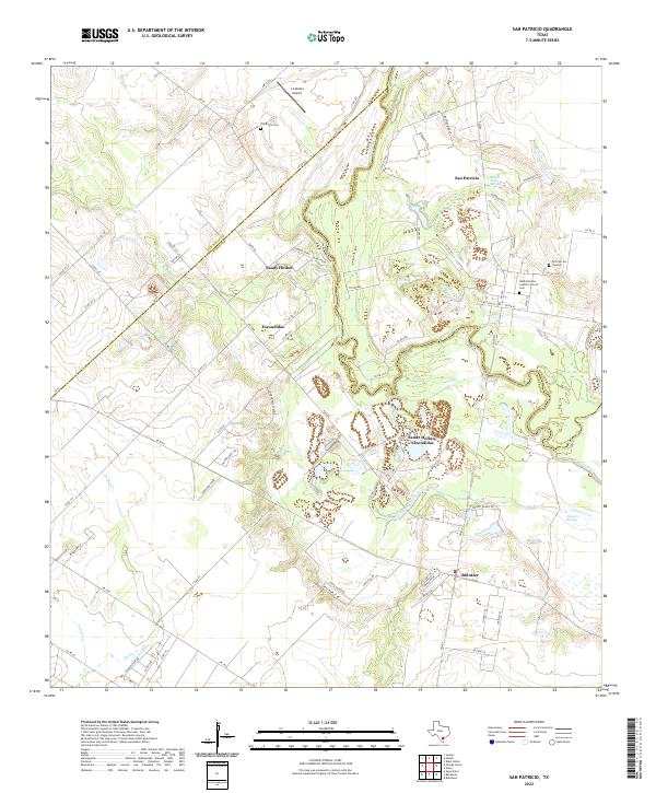
2022 Map of San Patricio
USGS Topo · Published 2022About this map
The Nueces River serves as the primary boundary and geographical anchor for this region, winding through the borderlands of Jim Wells, Nueces, and San Patricio counties. This landscape is defined by its deep historical roots, particularly at San Patricio, where the Saint Patrick's Catholic Church and its accompanying cemetery stand as cultural landmarks. The terrain is a network of small creeks like Cayamon Creek and Sandy Hollow Cr, interspersed with hydrological features such as Round Lake Springs and Dismero Springs. Local aviation is represented by the J A Knolle Airport to the north. Smaller settlements and crossroads like Bluntzer, Escondidas, and Sandy Hollow are linked by farm-to-market roads, while sites like the Old Cem On The Hill and Old Ranch Cem provide significant points of interest for genealogical research in this rural South Texas corridor.
Find a feature on this map
86 named features on this map. Tap any name to fly to it.
Don’t see what you’re looking for? This feature index may not catch every label — zoom into the map to look around manually.
Map Details
Editions of this 2022 San Patricio Map
This is the sole edition of this map. No revisions or reprints were ever made.
Other maps of this area

1925 · Robstown
USGS Topo · 1:62,500

1925 · Mathis No. 3
USGS Topo · 1:48,000

1927 · Mathis
USGS Topo · 1:62,500

1950 · Corpus Christi
USGS Topo · 1:250,000

1953 · Beeville
USGS Topo · 1:250,000

1954 · Orange Grove
USGS Topo · 1:62,500

1954 · Robstown
USGS Topo · 1:62,500

1954 · Mathis
USGS Topo · 1:62,500

1954 · Sinton
USGS Topo · 1:62,500

1956 · Corpus Christi
USGS Topo · 1:250,000