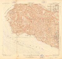
1928 Map of San Pedro Hills
USGS Topo · Published 1928About this map
The San Pedro Hills dominate this coastal survey, reflecting a period of transition from open ranch land to planned suburban development. Surveyed in 1925, the map showcases the early layout of Palos Verdes Estates, with its winding roads like Granvia La Costa following the natural contours of the peninsula. Along the southern bluffs, notable landmarks include the Palos Verdes Golf Club and the light station at Point Vicente.
Find a feature on this map
33 named features on this map. Tap any name to fly to it.
Don’t see what you’re looking for? This feature index may not catch every label — zoom into the map to look around manually.
Map Details
Editions of this 1928 San Pedro Hills Map
3 editions found
Other maps of this area

1896 · Redondo
USGS Topo · 1:62,500

1896 · San Pedro
USGS Topo · 1:62,500

1901 · Southern California Sheet No. 1
USGS Topo · 1:250,000

1904 · Southern California Sheet No. 1
USGS Topo · 1:250,000

1923 · Wilmington
USGS Topo · 1:24,000

1924 · Torrance
USGS Topo · 1:24,000
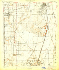
1924 · Compton
USGS Topo · 1:24,000
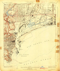
1925 · Wilmington
USGS Topo · 1:24,000
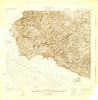
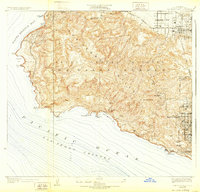
1925 · San Pedro Hills
USGS Topo · 1:24,000
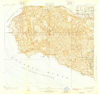
1928 · San Pedro Hills
USGS Topo · 1:24,000