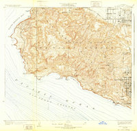
1928 Map of San Pedro Hills
USGS Topo · Published 1932About this map
The San Pedro Hills rise sharply from the Pacific Ocean San Pedro Channel, defining the topography of the peninsula in the late 1920s. This survey, conducted shortly before the reprinted 1932 edition, illustrates the early residential planning of Palos Verdes Estates and Los Palos Verdes Estates, characterized by winding roads like Paseo Del Mar following the coastal bluffs. The interior remains relatively open, dominated by the high point at San Pedro Hill, while industrial and military footprints expand toward the east.
Find a feature on this map
33 named features on this map. Tap any name to fly to it.
Don’t see what you’re looking for? This feature index may not catch every label — zoom into the map to look around manually.
Map Details
Editions of this 1928 San Pedro Hills Map
3 editions found
Other maps of this area

1896 · Redondo
USGS Topo · 1:62,500

1896 · San Pedro
USGS Topo · 1:62,500

1901 · Southern California Sheet No. 1
USGS Topo · 1:250,000

1904 · Southern California Sheet No. 1
USGS Topo · 1:250,000

1923 · Wilmington
USGS Topo · 1:24,000

1924 · Torrance
USGS Topo · 1:24,000
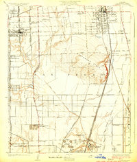
1924 · Compton
USGS Topo · 1:24,000
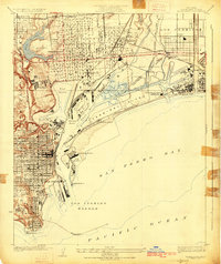
1925 · Wilmington
USGS Topo · 1:24,000
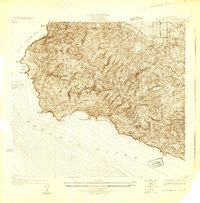
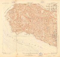
1925 · San Pedro Hills
USGS Topo · 1:24,000
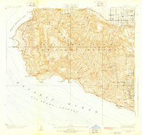
1928 · San Pedro Hills
USGS Topo · 1:24,000