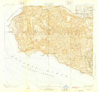
1928 Map of San Pedro Hills
USGS Topo · Published 1928About this map
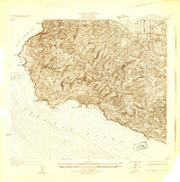
Palos Verdes Estates and the surrounding San Pedro Hills are depicted here during an era of significant coastal transformation. The survey, conducted under the guidance of T.H. Moncure and Los Angeles County Surveyor J.E. Rockhold, captures the planned expansion of residential and recreational developments alongside existing industrial and military footprints. The coastline is marked by rugged points and coves, from Bluff Cove in the north down to the thermal waters of Whites Point Hot Springs. Inland, the landscape reveals a mixture of early suburban planning and strategic infrastructure, including the Standard Oil Co Tank Farm near the Los Angeles City Boundary and the extensive Ft MacArthur Upper Res overlooking the harbor. This period shows the nascent road network, including the coastal Paseo Del Mar, as it began to wrap around the peninsula's southern edge.
Find a feature on this map
34 named features on this map. Tap any name to fly to it.
Don’t see what you’re looking for? This feature index may not catch every label — zoom into the map to look around manually.
Map Details
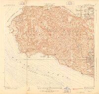
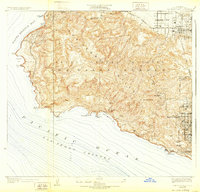
Editions of this 1928 San Pedro Hills Map
3 editions found
Other maps of this area

1896 · Redondo
USGS Topo · 1:62,500

1896 · San Pedro
USGS Topo · 1:62,500

1901 · Southern California Sheet No. 1
USGS Topo · 1:250,000

1904 · Southern California Sheet No. 1
USGS Topo · 1:250,000

1923 · Wilmington
USGS Topo · 1:24,000
1924 · Torrance
USGS Topo · 1:24,000

1924 · Compton
USGS Topo · 1:24,000
1925 · Wilmington
USGS Topo · 1:24,000
1925 · San Pedro Hills
USGS Topo · 1:24,000
1930 · Compton
USGS Topo · 1:24,000